Posted in adventure, hiking, places to run, travel

FallEye!

Hidden falls are always fascinating to me. That feeling that it’s nearby and pass-by it, and the possibility that there might be something hidden behind it as seen in video games. Calamba City is near or within the high places of Tagaytay and Mount Makiling, so there are plenty hidden waterfalls around, you just have to find it. One that I have read about years ago but haven’t attempted to find is the Matang Tubig falls which is situated within the borders of Canlubang, Calamba and Casile, Cabuyao. After enough research and accompanied by the always willing running buddy, John Jimenez, we decided to search for the hidden, but well-known falls of Matang Tubig on January 31, 2021.

The usual mandatory start of the activity selfie at Nuvali Solenad.

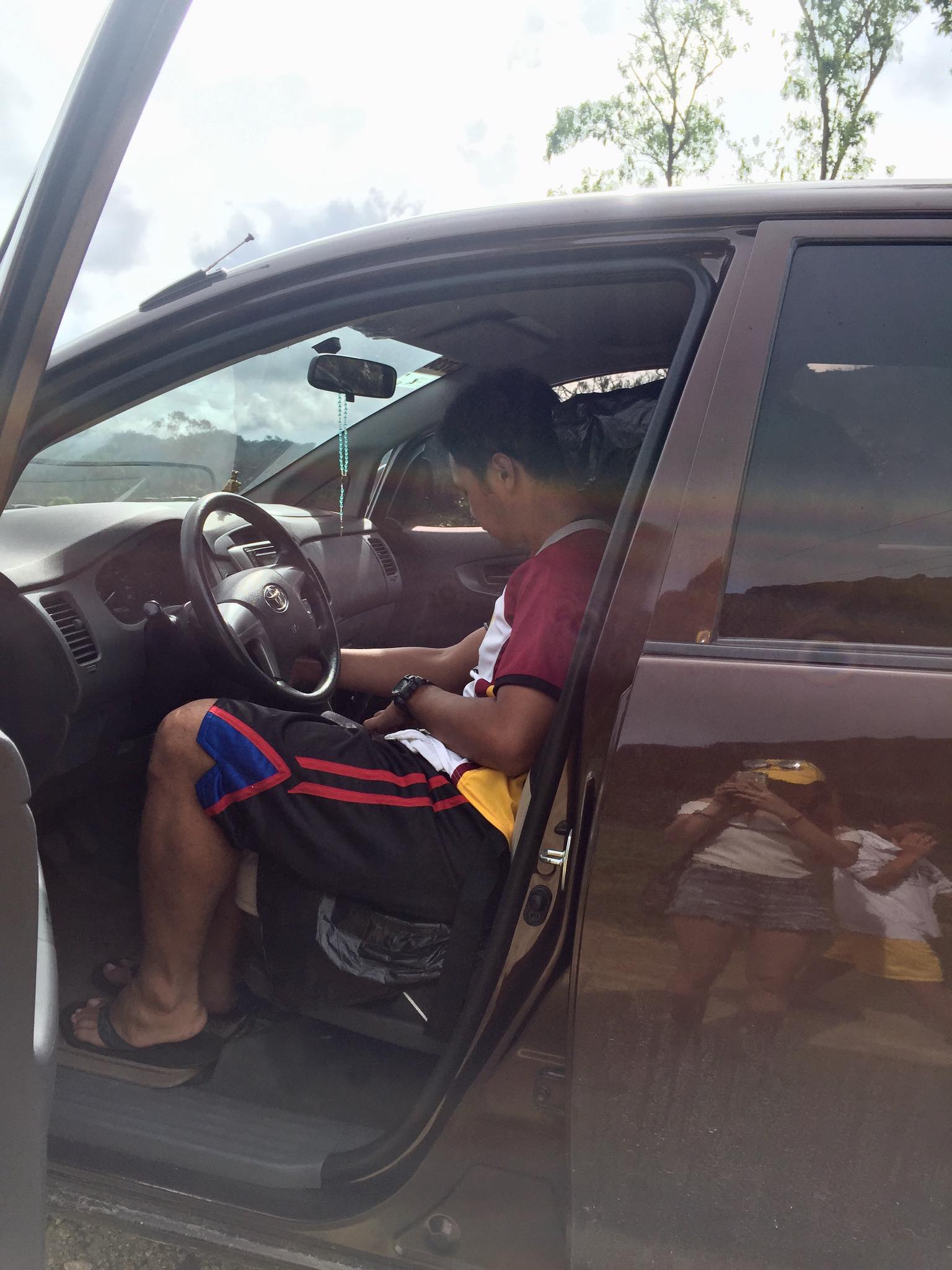
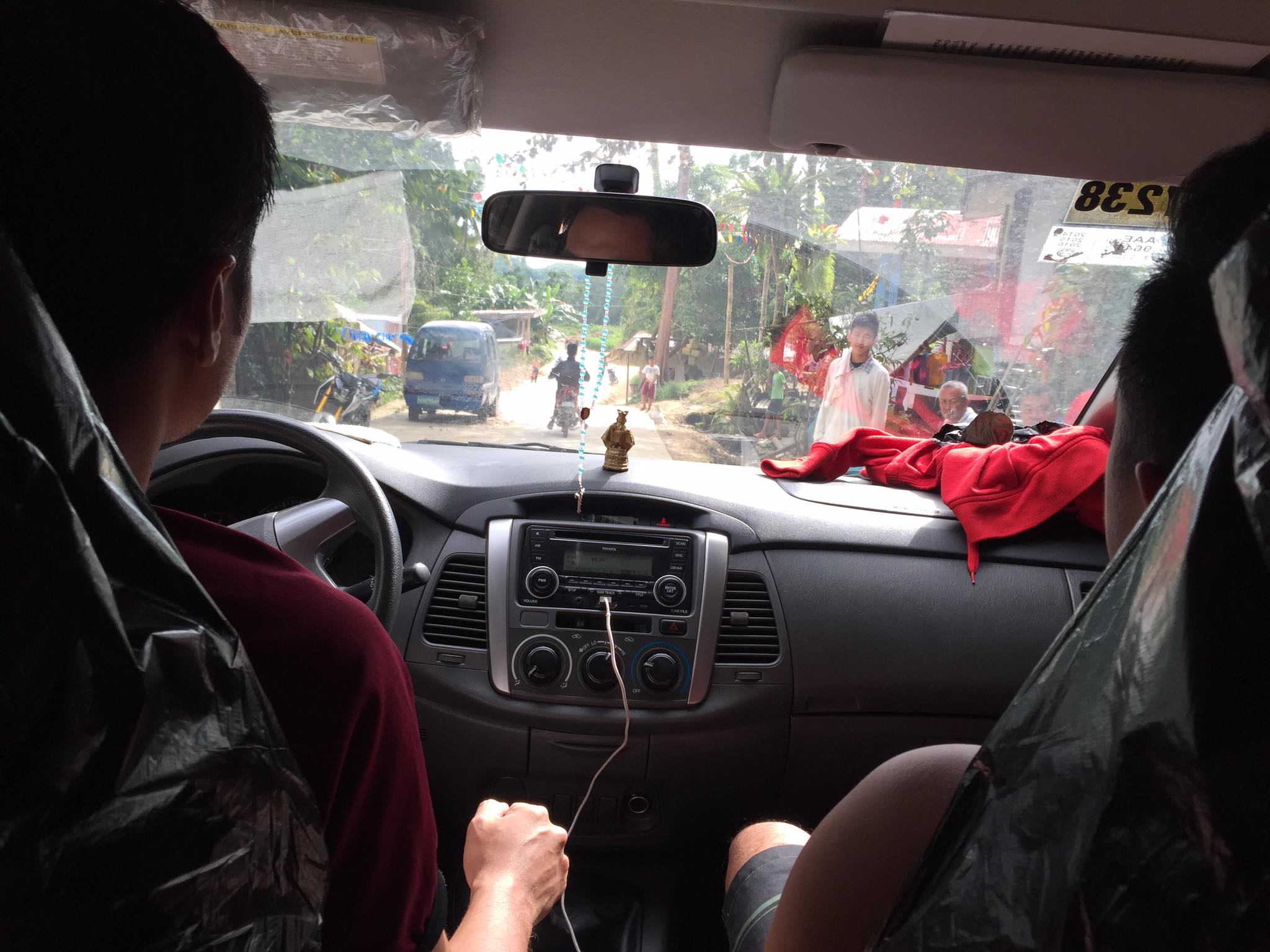
We met at the usual place at Nuvali Solenad parking lot. This also marks the last time I drove my travel buddy, our Hyundai Eon, as the car was sold a week later to a friend. We started the trek at 6:30 am. Since we are in our heaviest weights at the time and the latter part of the route are steep uphill, the journey will be a slow jog-walk with an estimated distance of 7 to 8 kilometers.

It was a lovely morning in Nuvali that day.

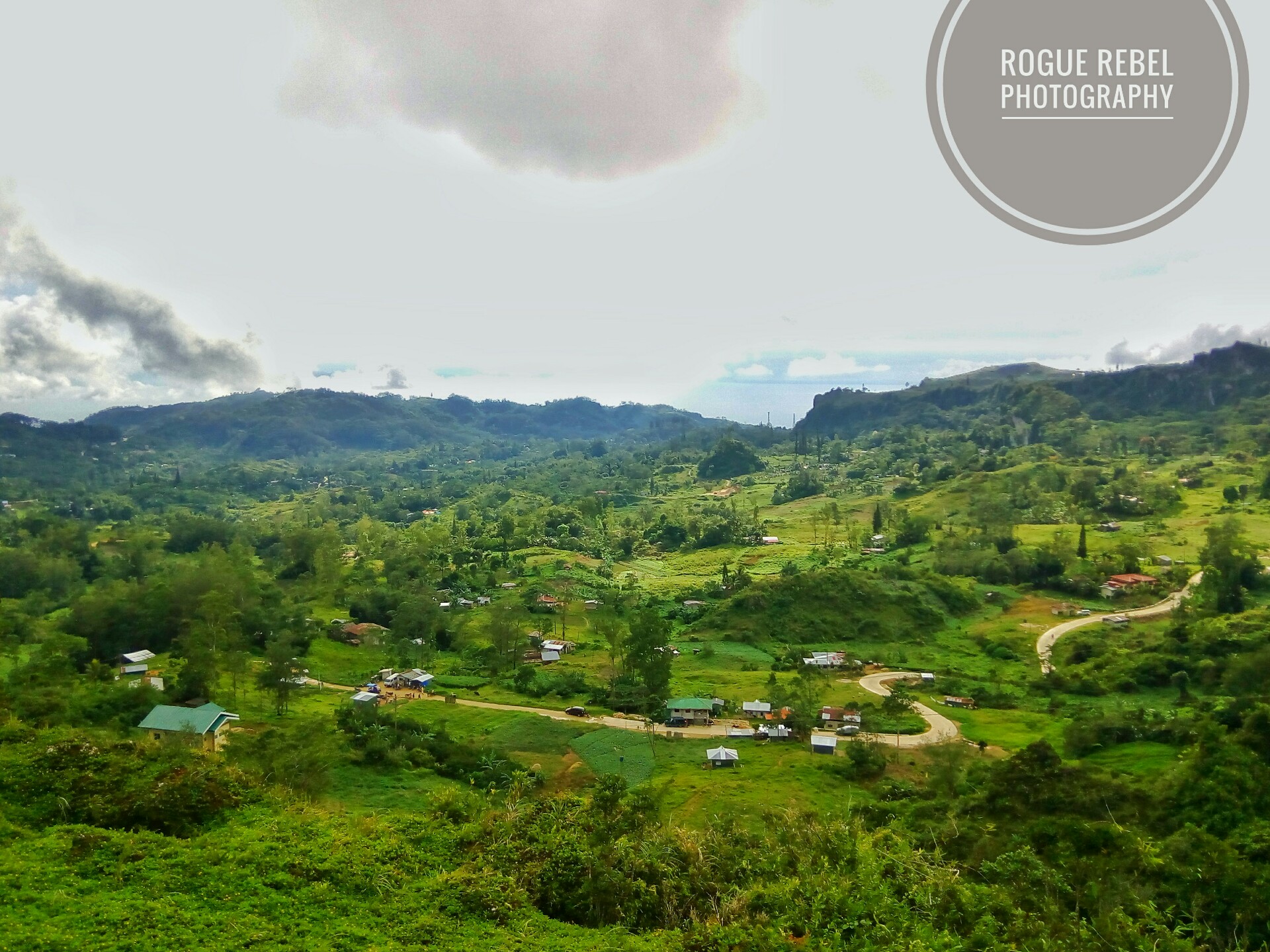
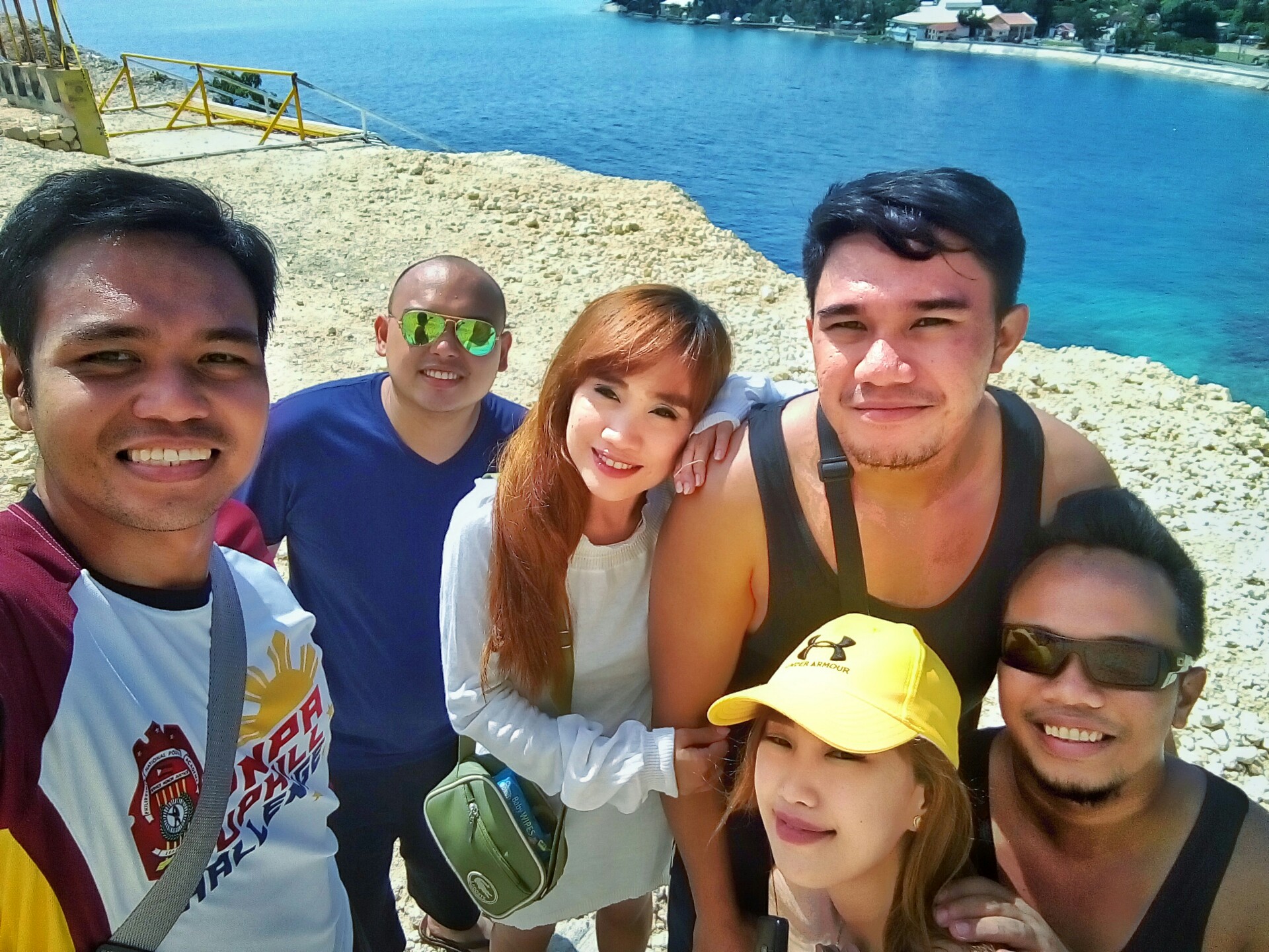
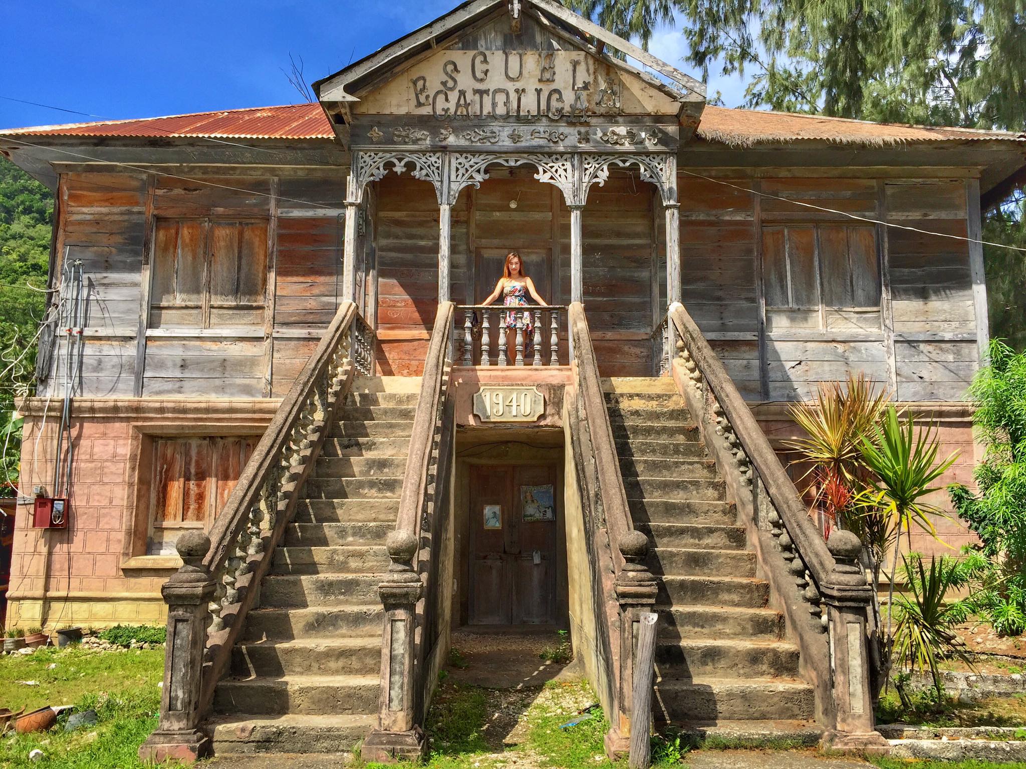
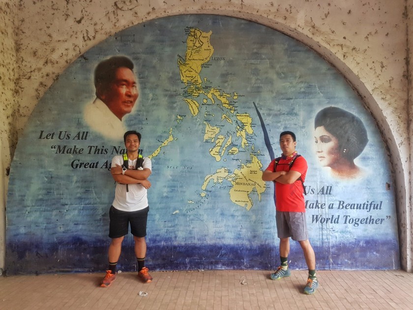
An hour and ten minutes later we finally reached our stop over, the Marcos Mansion (which I first encountered in Resolution Run 2015 and returned to on a solo run in 2016) in Casile. We took a 10-minute break there. It’s worth noting at the time that there are many undisciplined cyclist in the area. En route to Marcos Mansion, there is a long line of cyclists and some of them are not on a single file which is a nuisance to motorists and no social distancing. These are times when I hope there was a safety check point nearby especially since there is still a pandemic and to enforce traffic rules and road safety.

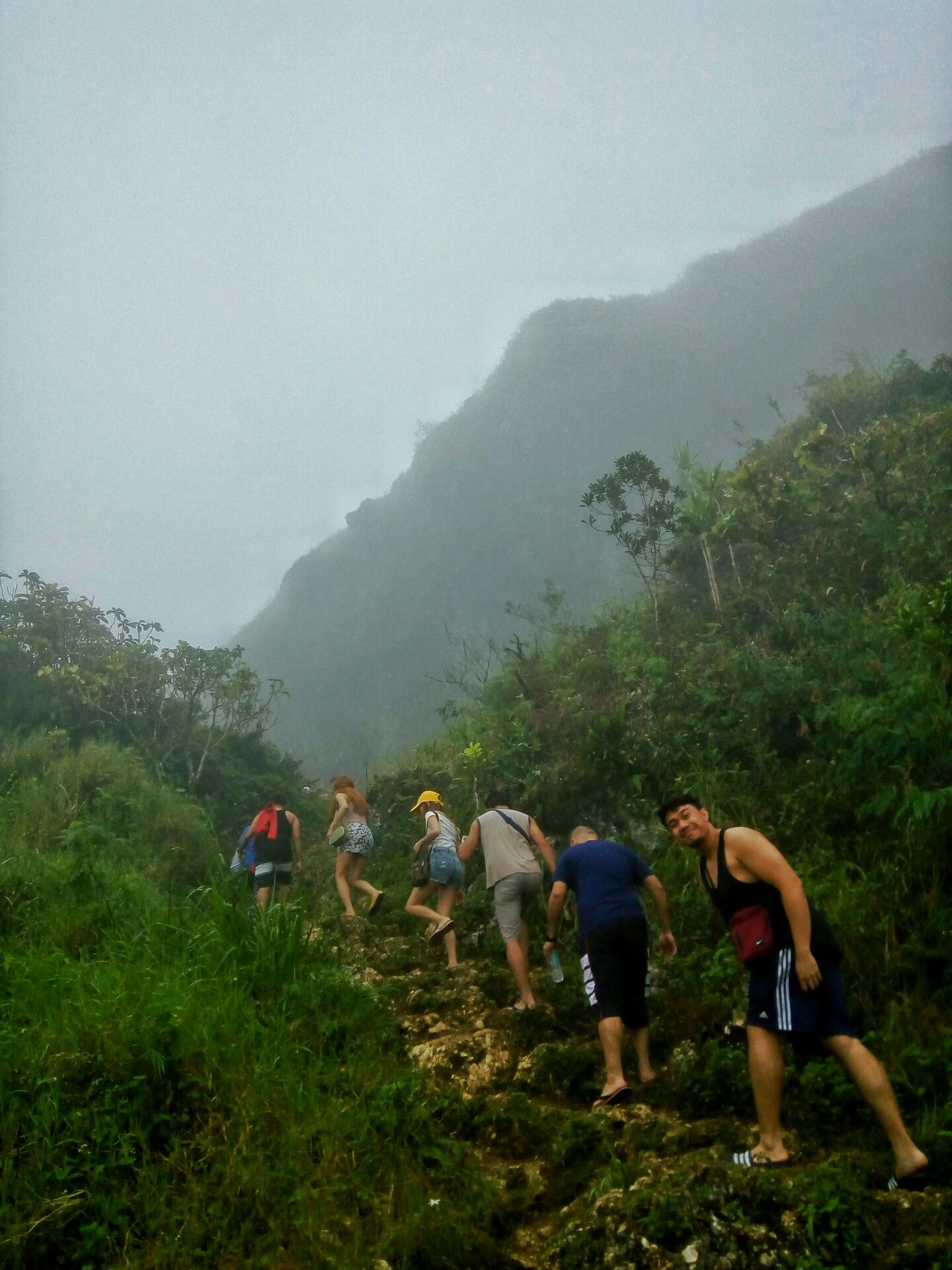
We hit the road again, this time even going steeper to the so-called kambal ahon (twin uphills) which is a vain to cyclists and vehicles with weak engines. The distance from Marcos Mansion to the entry point of Matang Tubig Falls is 2 kilometers. We moved at hiking pace since we don’t want to be fully exhausted by the time we reached the destination.

The punishing kambal ahon steep climb where most runners and cyclists have to take a break before going at it.

We finally found the entry point when we saw the landmark Tita Joy’s Tambayan, an eatery and bicycle stop. It was just next to it. From there, it’s another 700-meter walk to the falls. There is a donation for the cementation of the road. Any amount will do. After that we proceeded to the trail which is mostly downhill and can be slippery on rainy days.

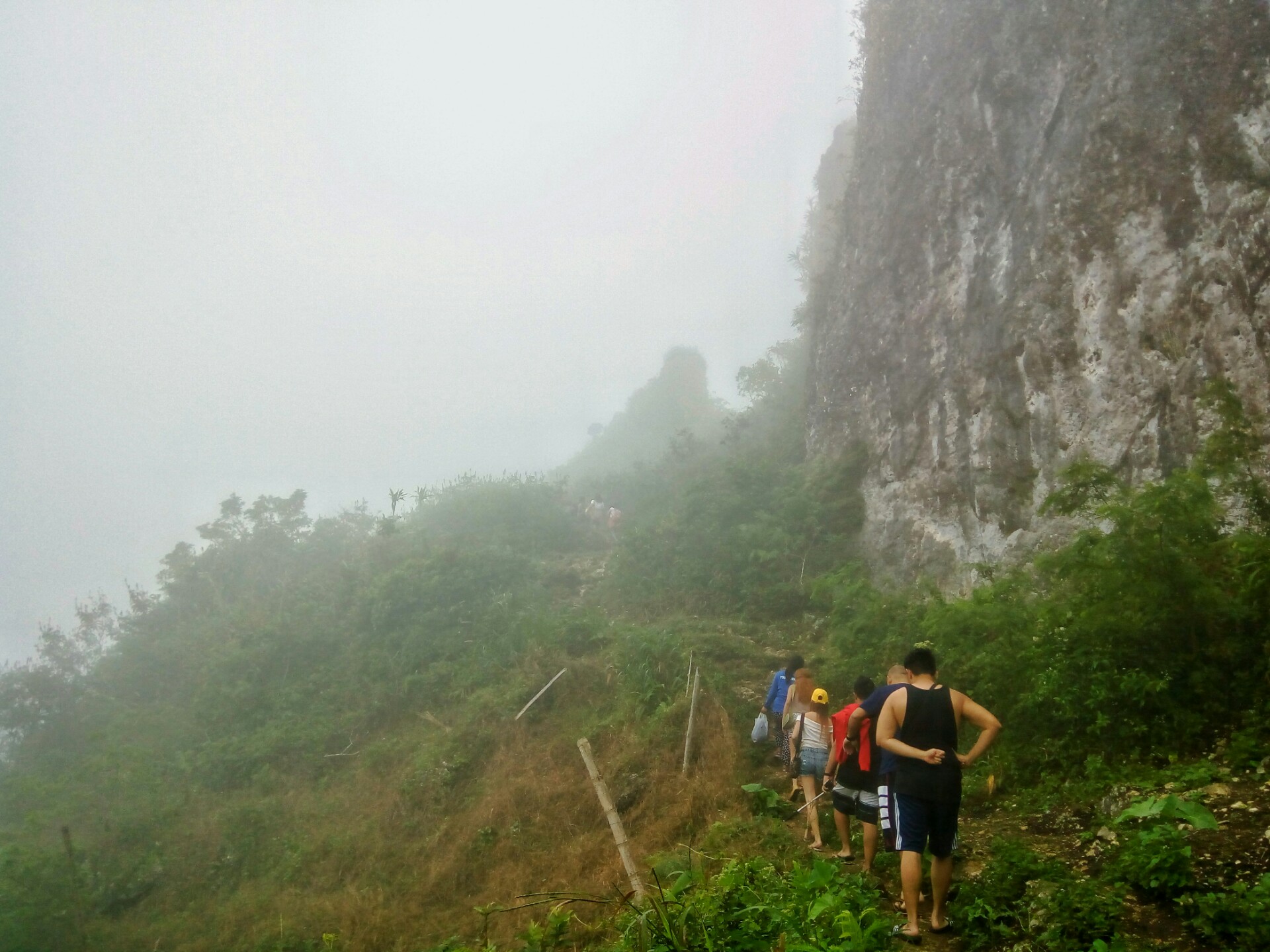
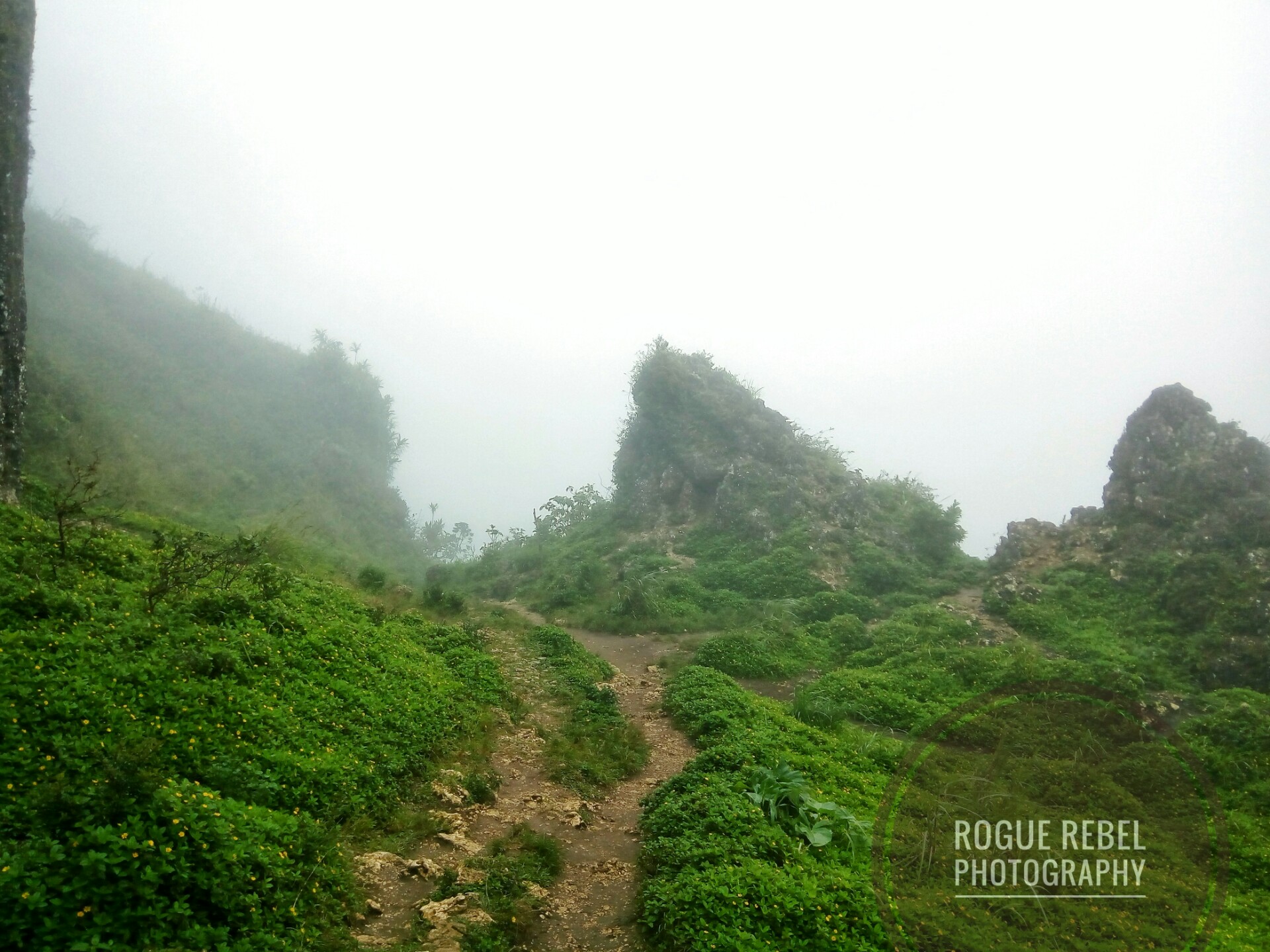
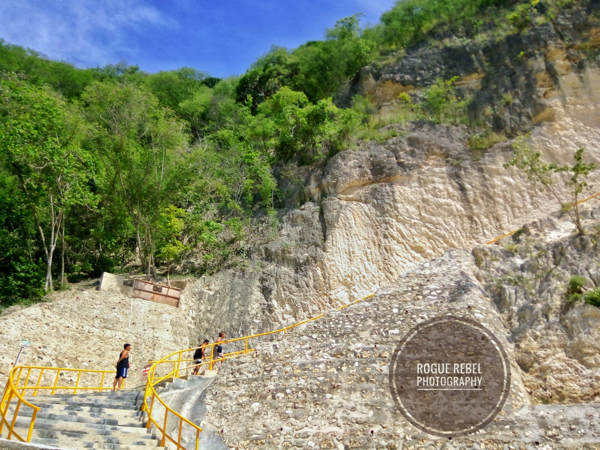
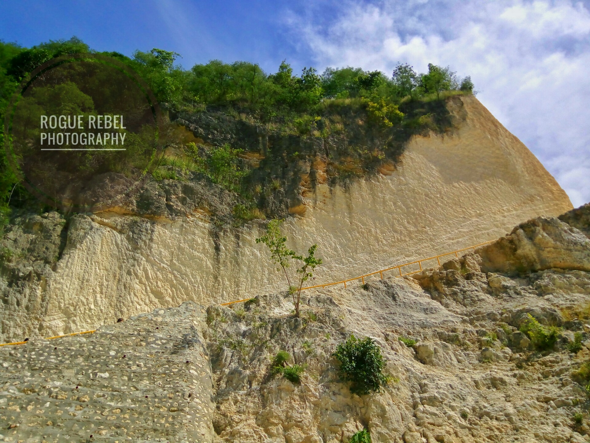
There is a part of the trail that has two paths, keep left for the right path (because some a-hole put another arrow that point to the right to confuse travelers. An area with a barbed wire and sign “No Trespassing” is found along the way. You have to Trespass though. But, the people in the area allows it anyway because this is the only safe path. There are only a few houses along the way and you are near when you see a cemented path with stairs (and rails) going down the river.

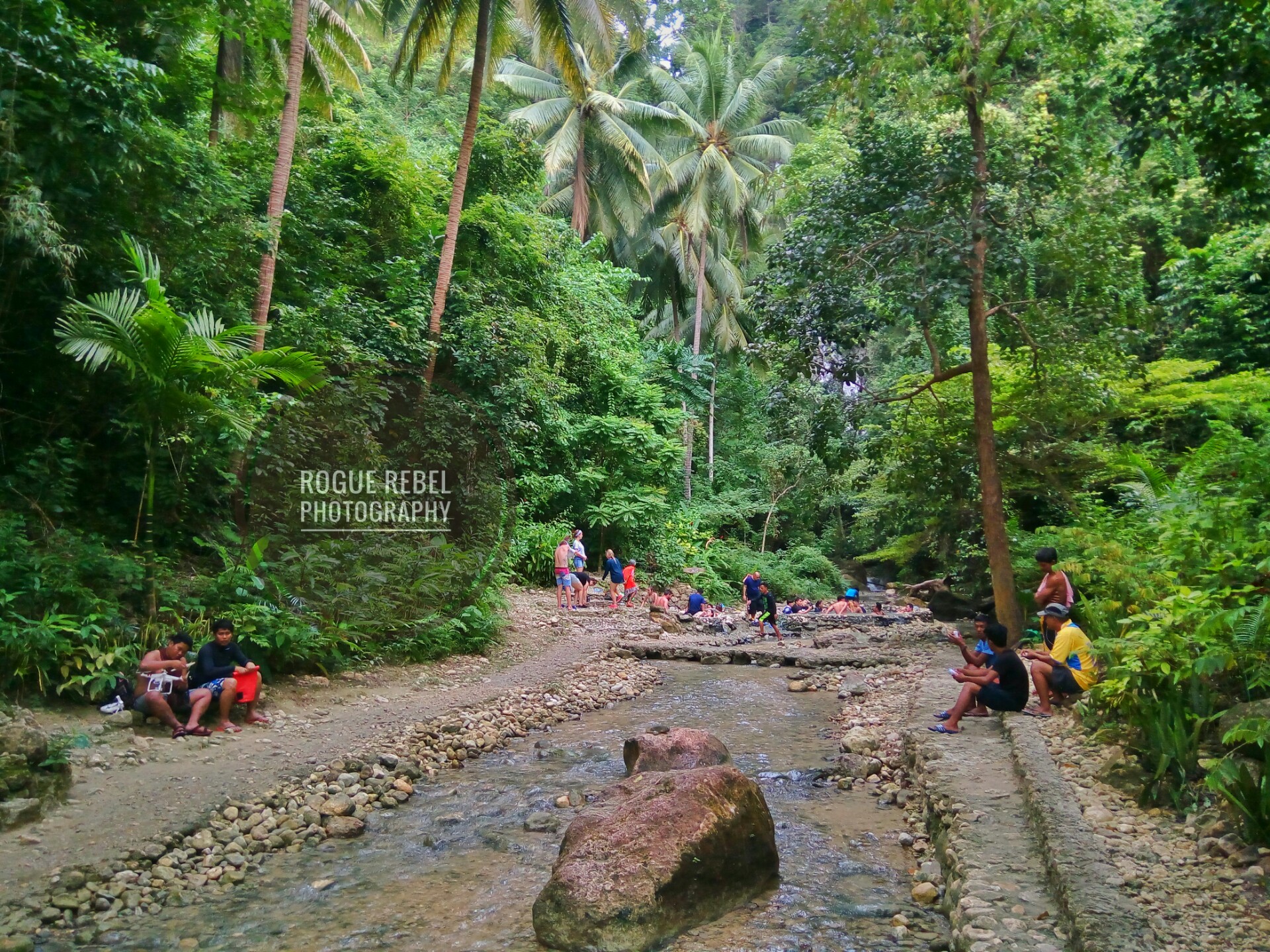
Once down the river, the falls it to the right. You will have to cross the water and getting wet is unavoidable unless you can walk on water or glide like a flying squirrel. Prepare to get wet up to the knees and thighs depending on your height.

Passing by the water supply pipe (which I though was an old bridge), there’s a small waterfall with plants and another one which was actually water coming from one of the pipes. The main falls is just a few meters ahead.

I like this small falls, It’s best for those Instagram pictorials.
This one comes from one of the pipes. Pressure is quite strong.

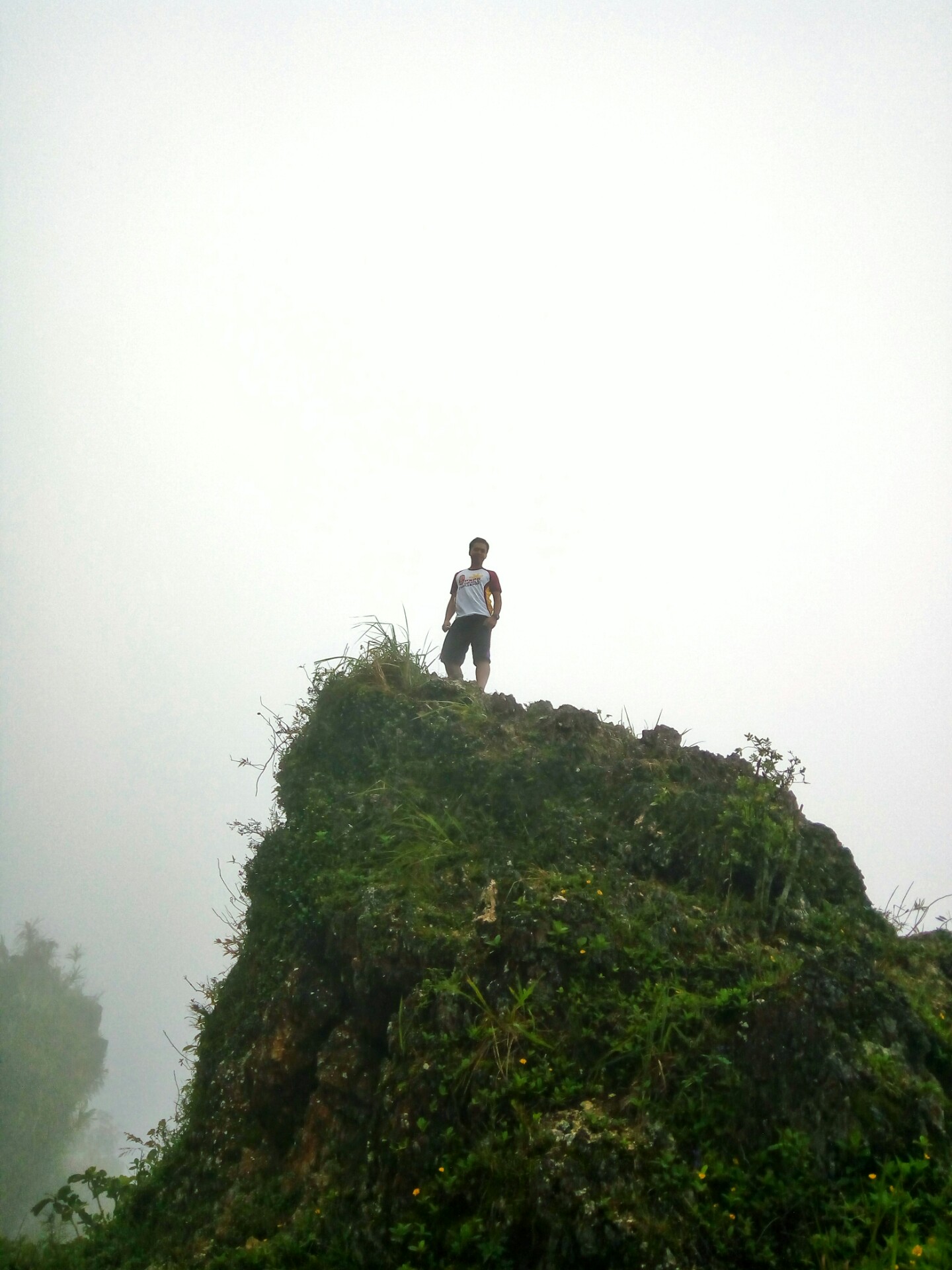
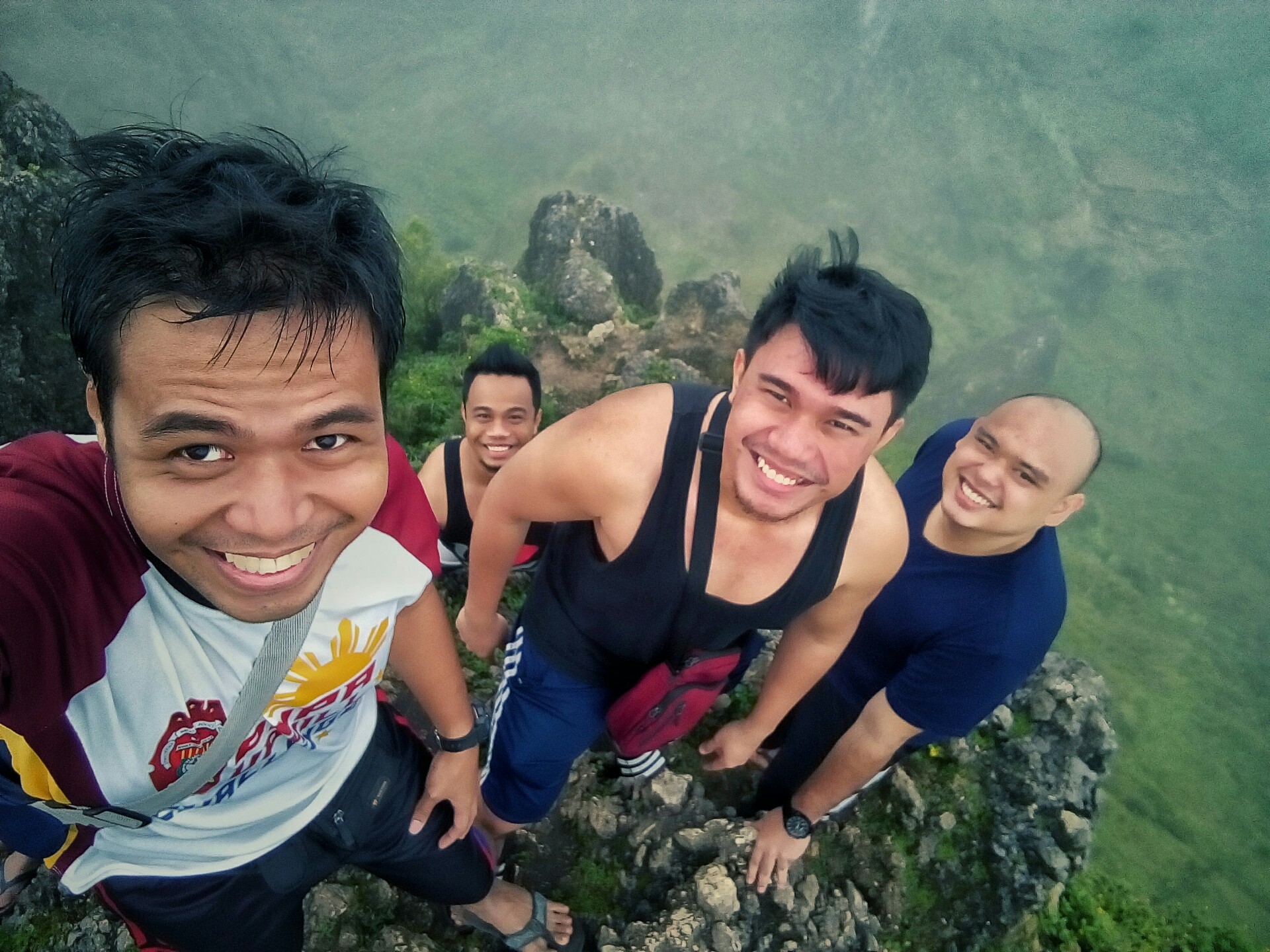
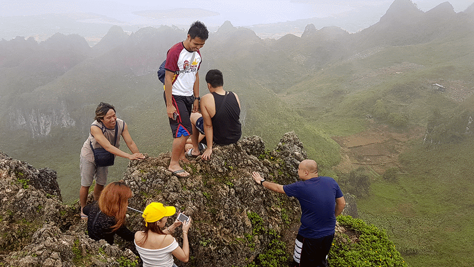
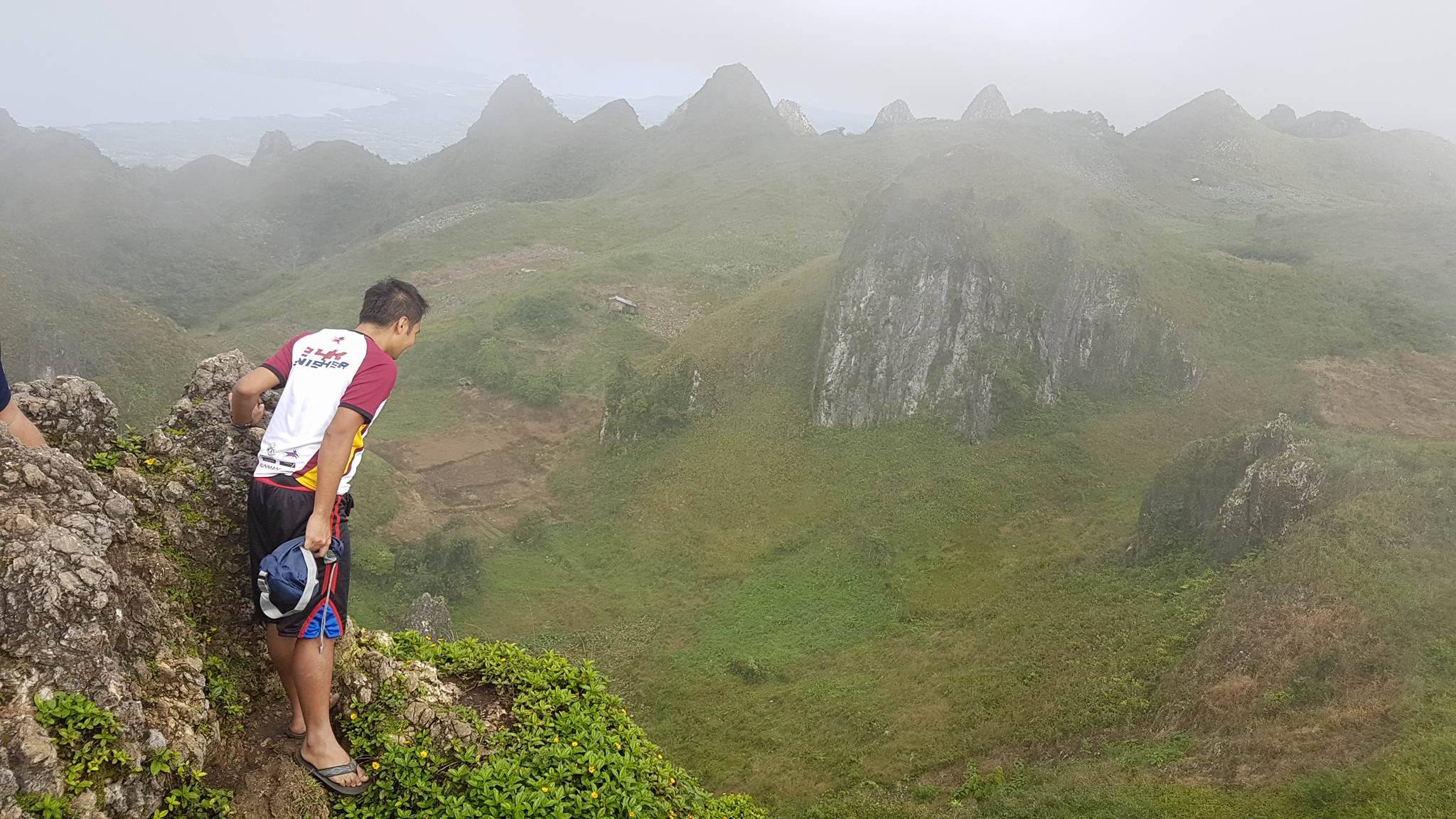
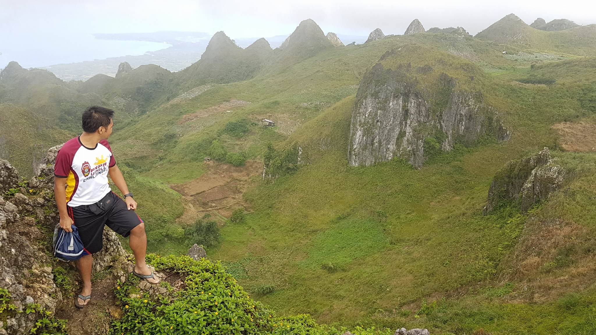
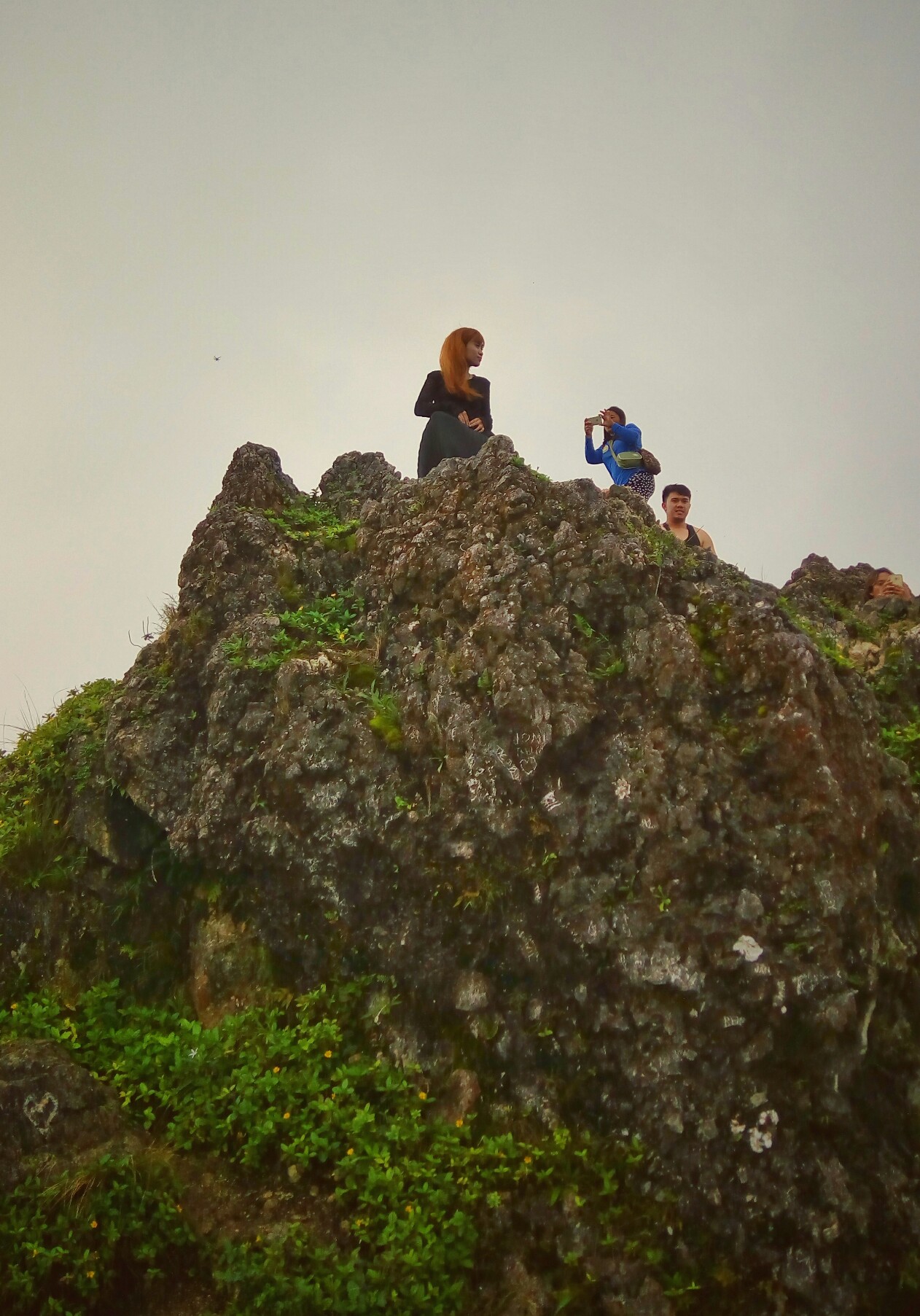
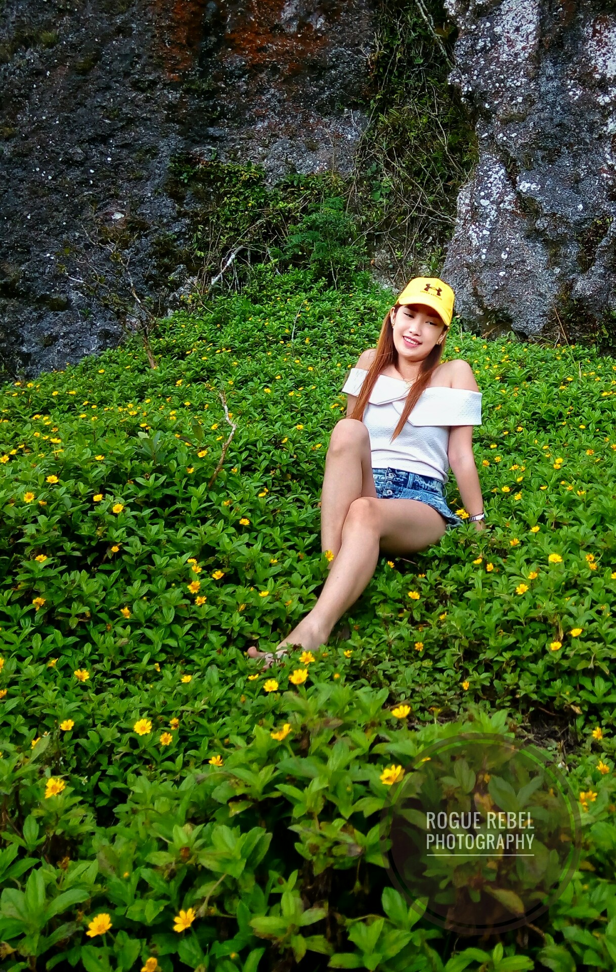
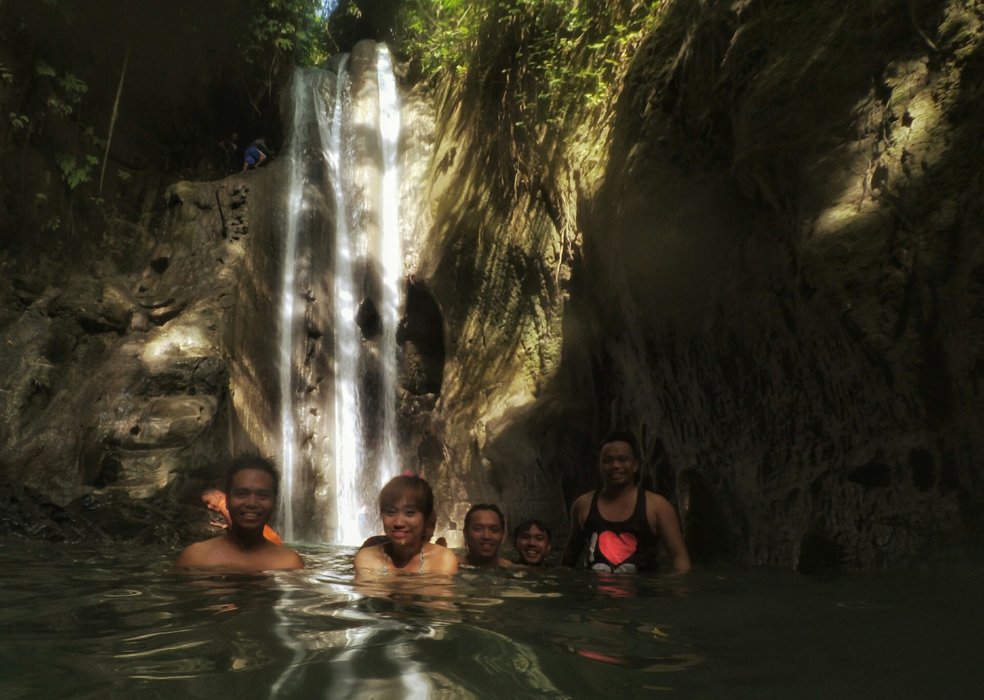
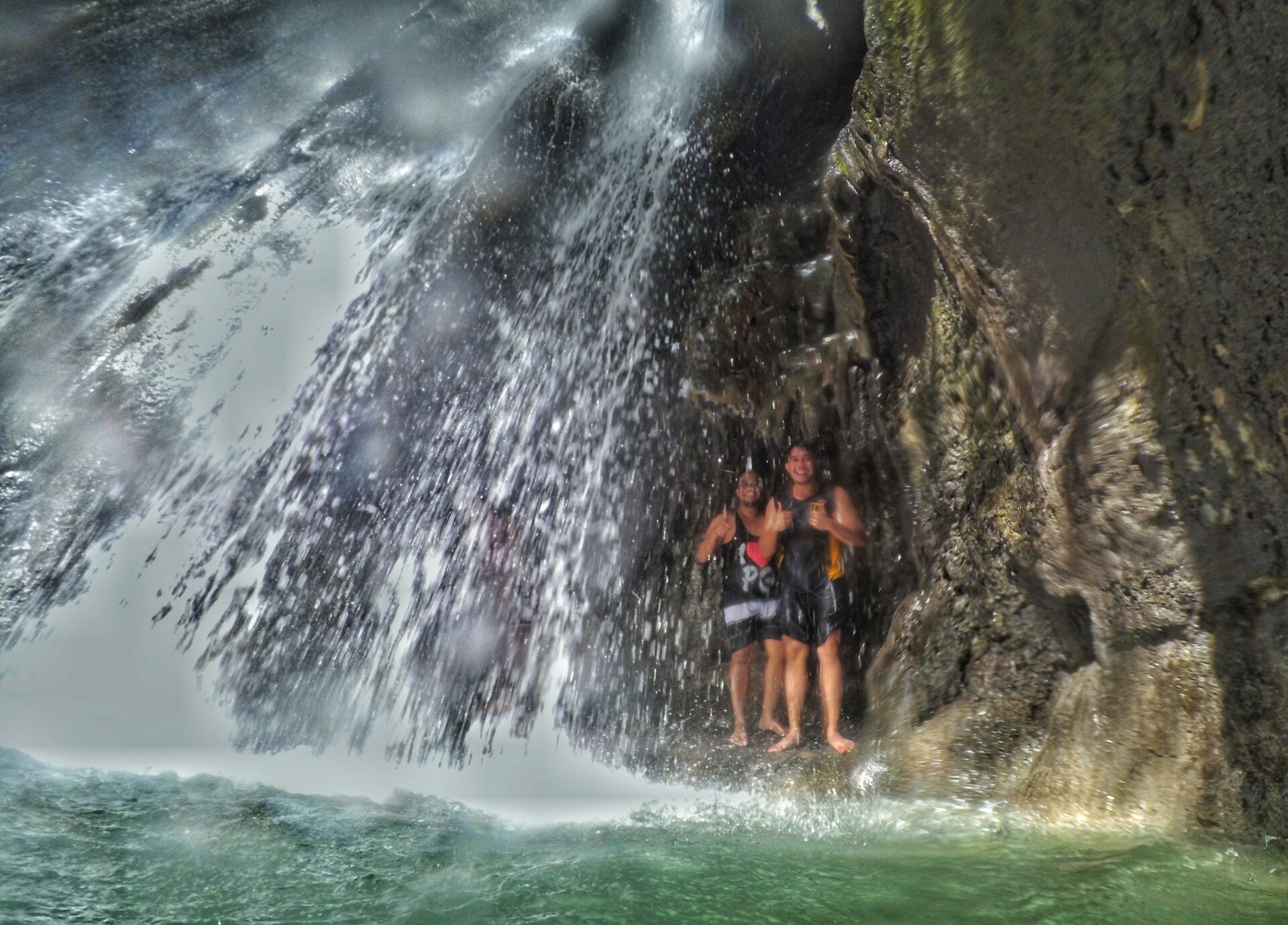
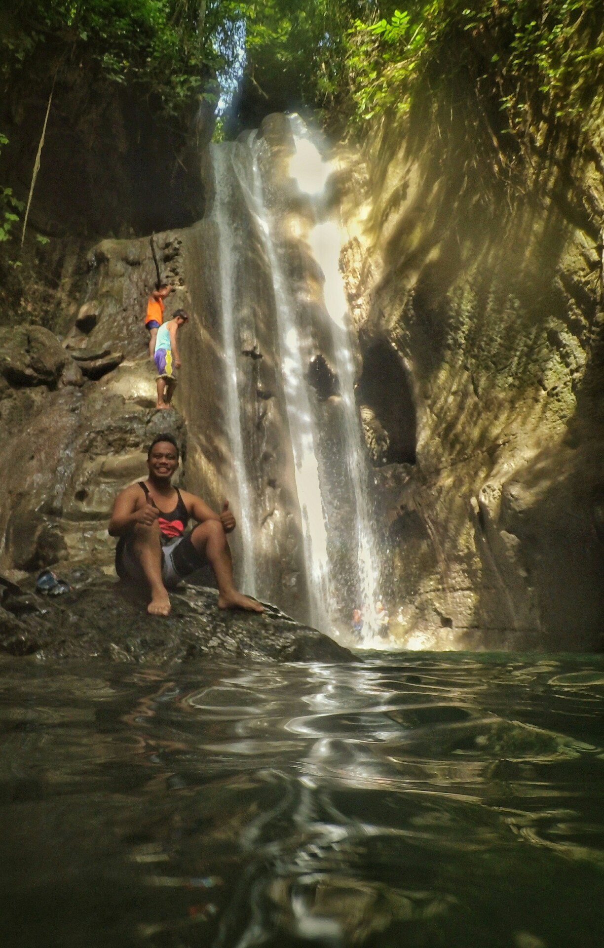
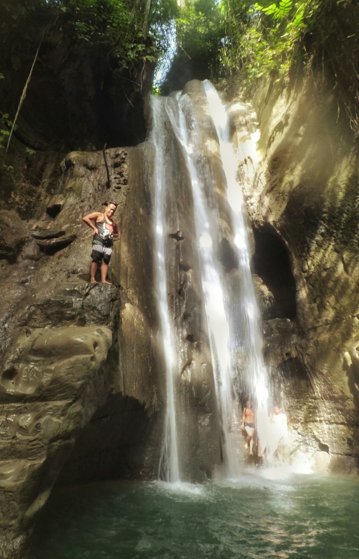
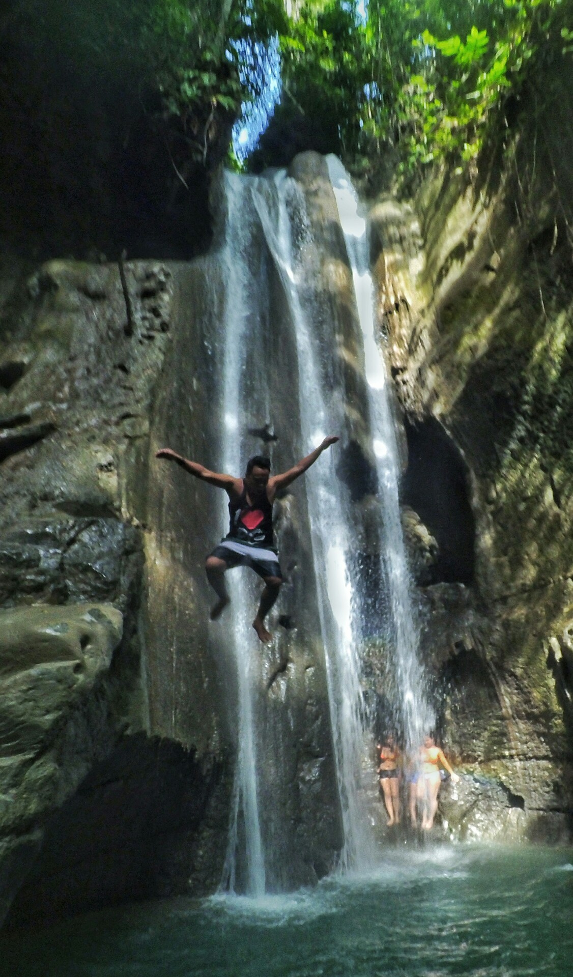
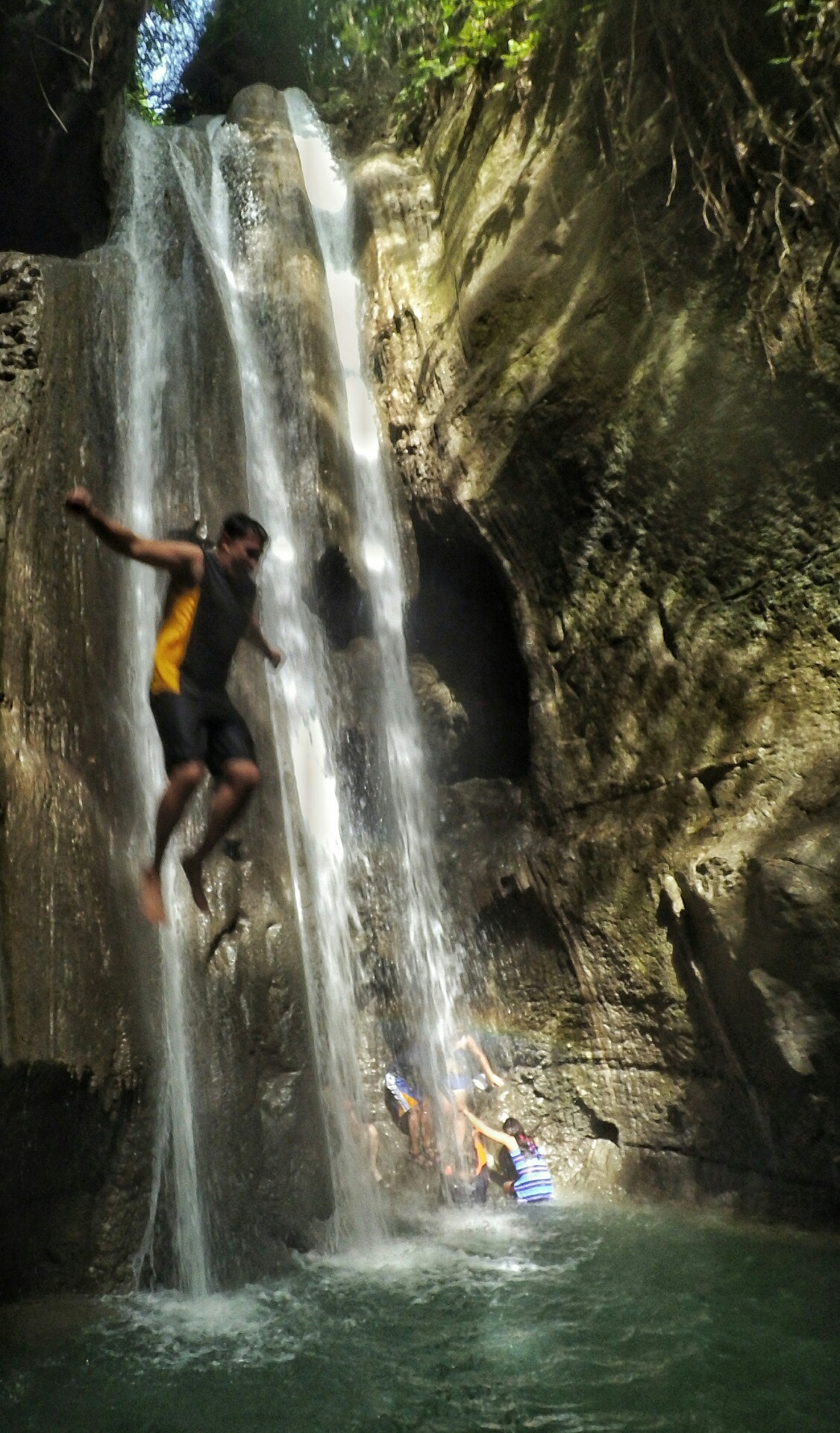
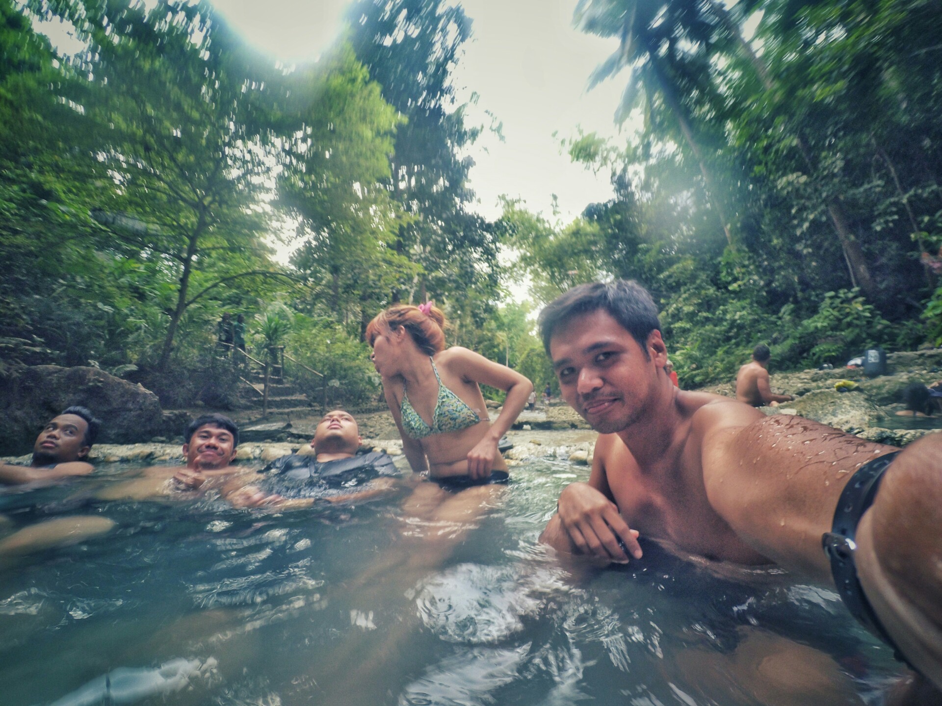
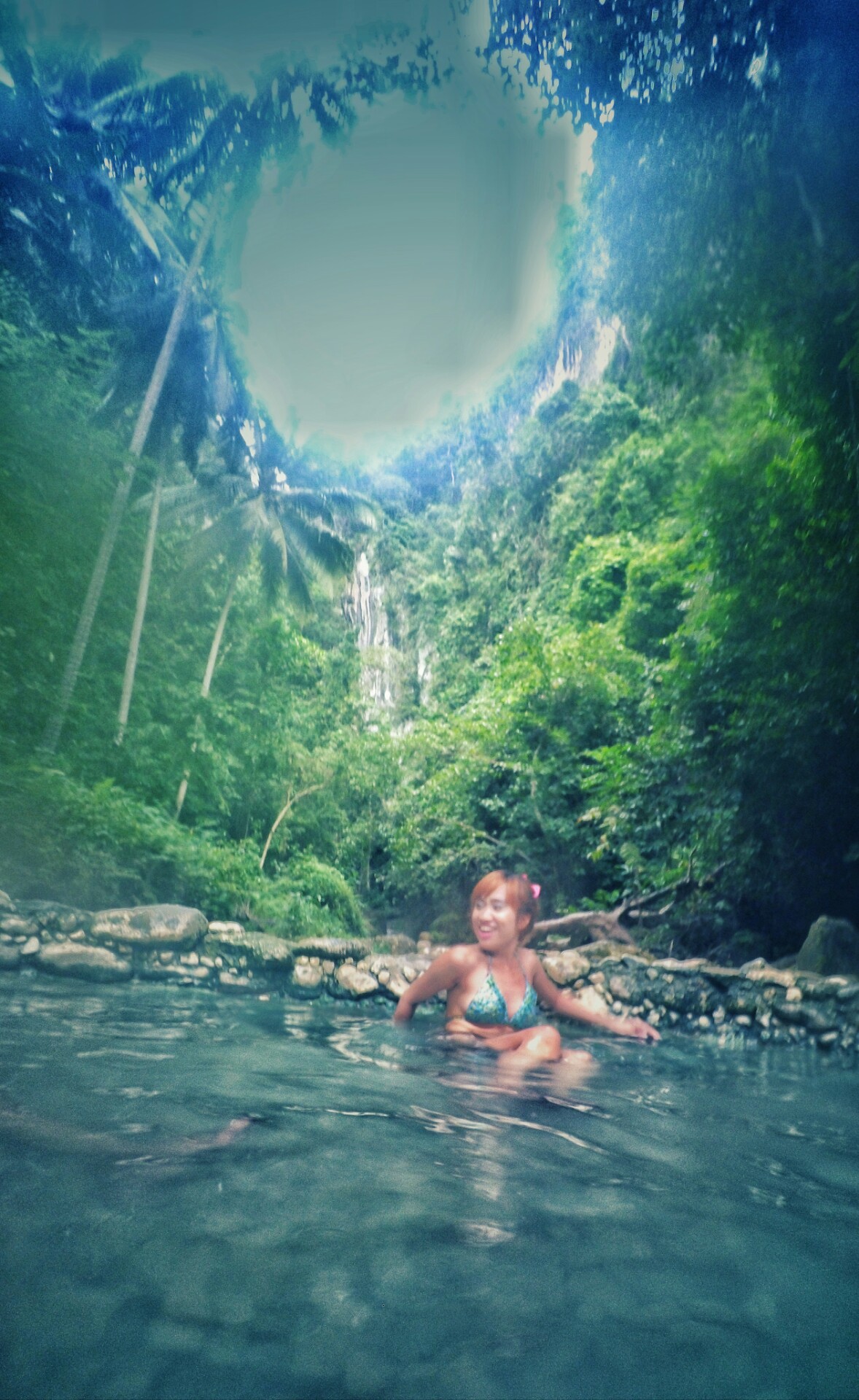
We finally reached the main falls at 8:40 am. Luckily, there are only a few people at the time, so it’s not crowded and taking photos is much easier. The pool is only chest deep (depending on your height). The place is a great hangout spot, some people are cooking and just chilling. I found a climbing spot where it’s easy to get on top of the falls and get a good view.
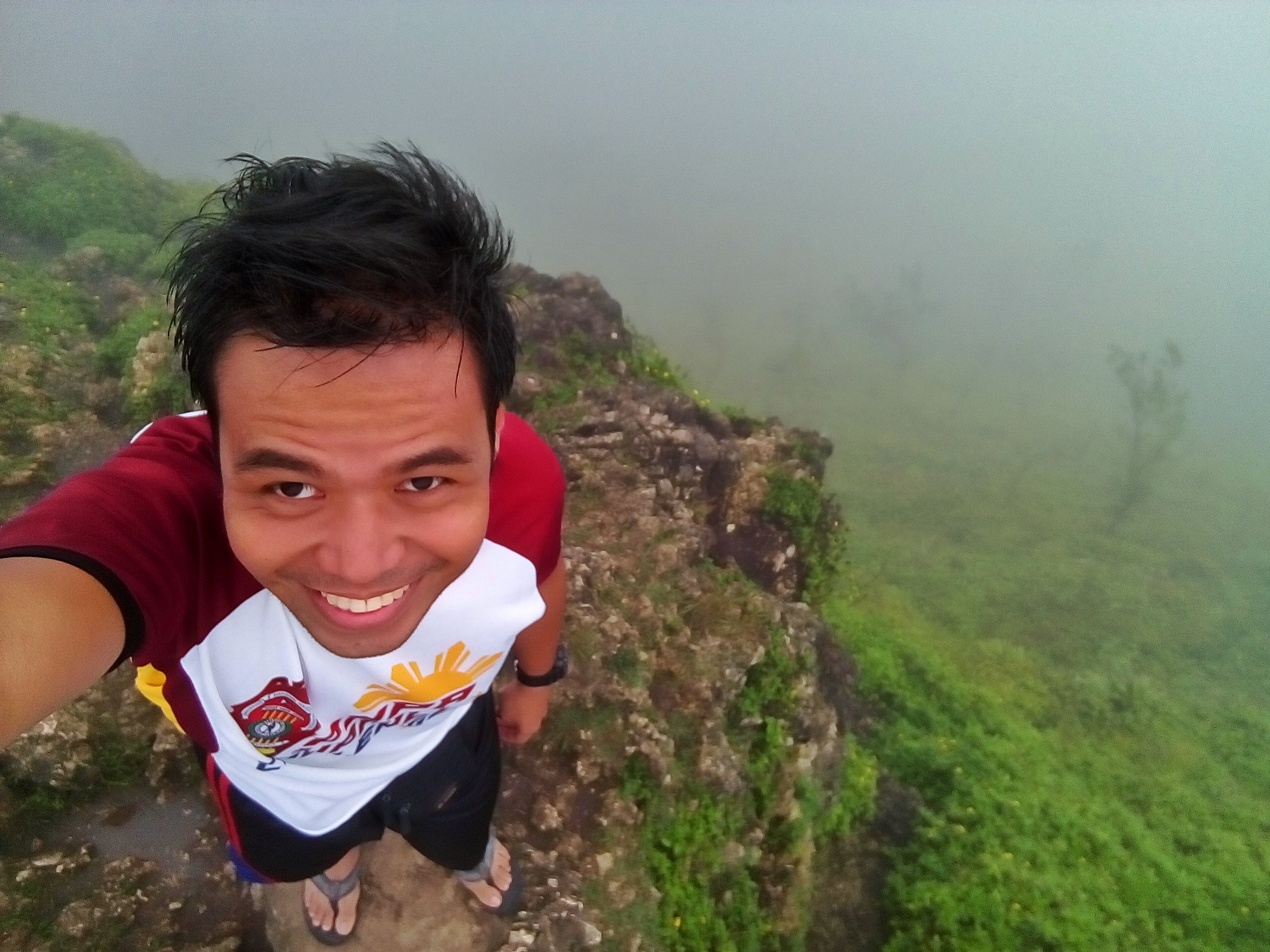
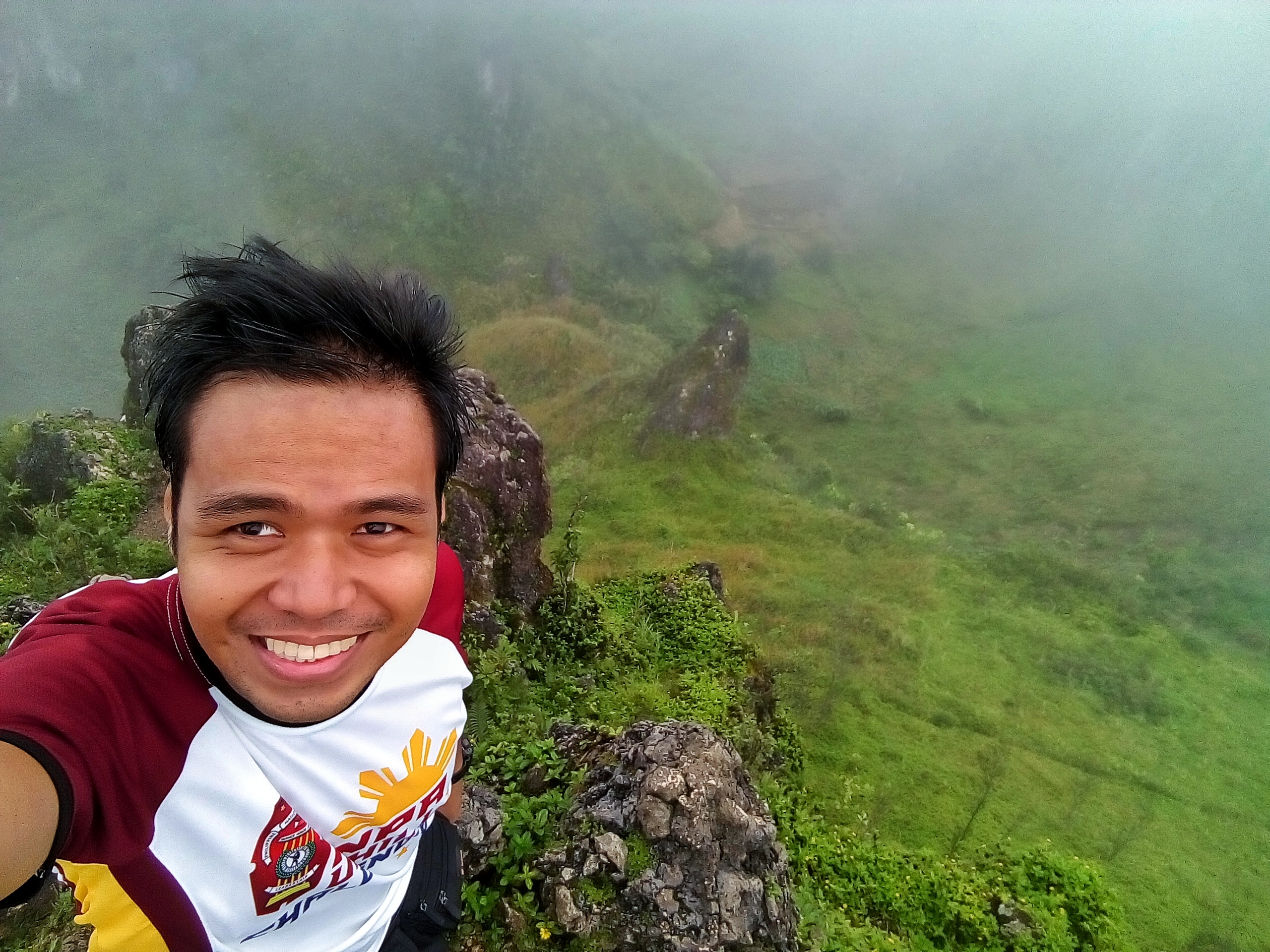
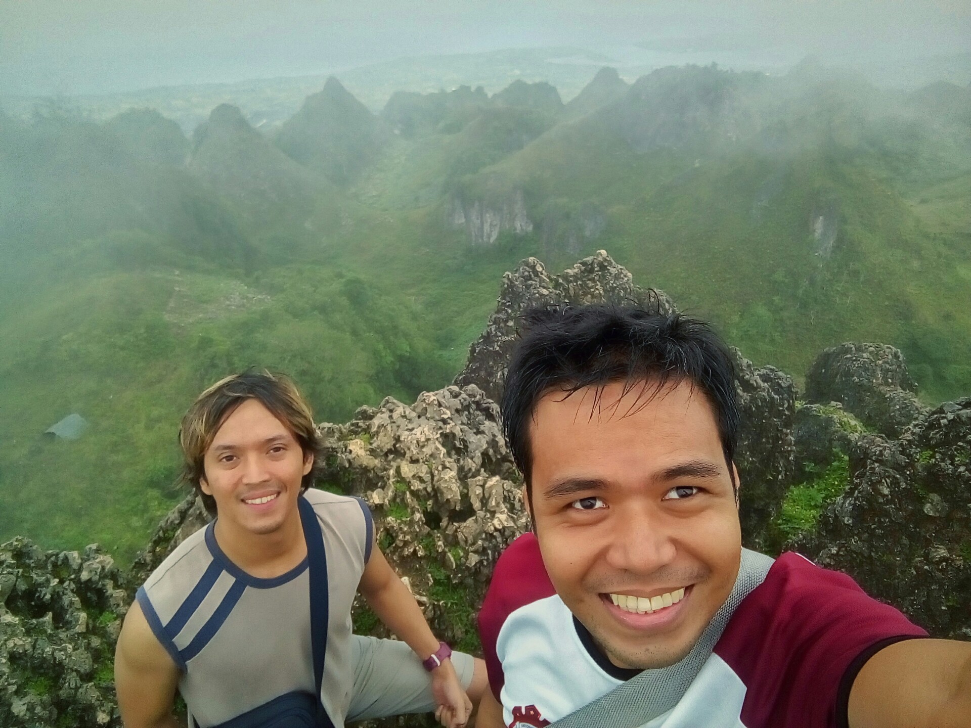
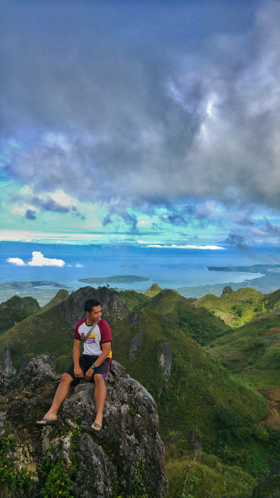
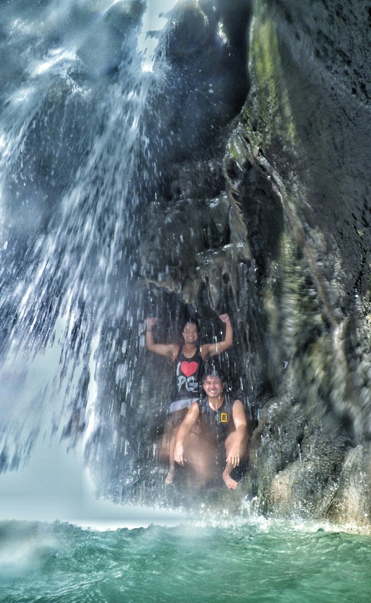
After a long, relaxing rest, we left at 9:15 am so we can reach Nuvali before lunch time. Going back is a bit harder since we’ll be going up the stairs and the temperature is hotter now. Good thing it’s only less than a kilometer back to the entry point.
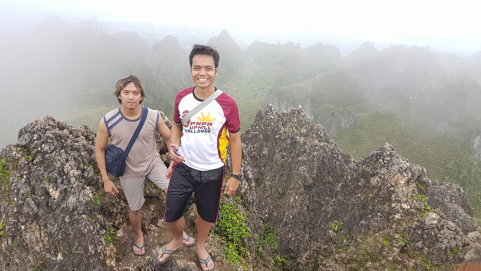
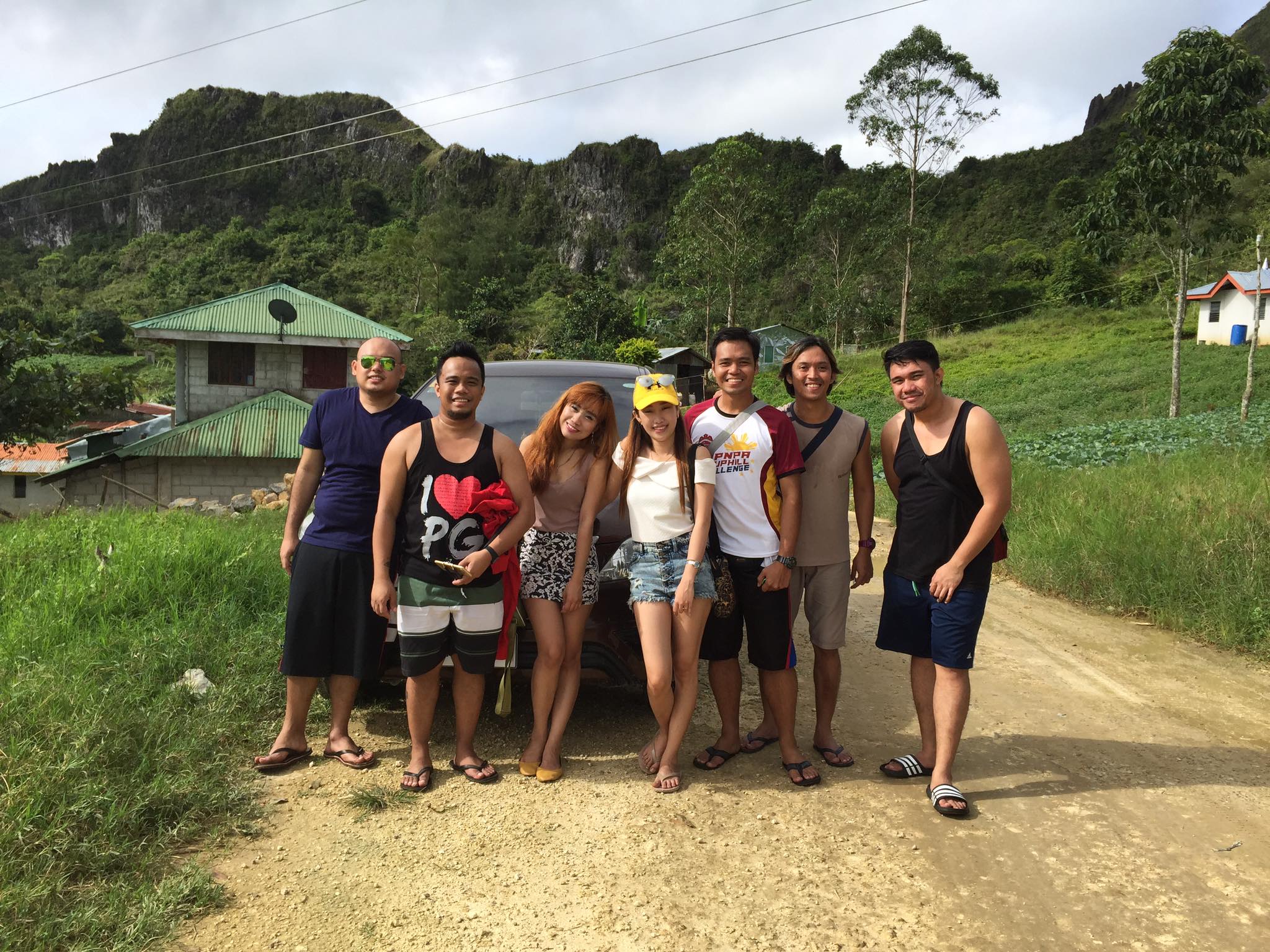
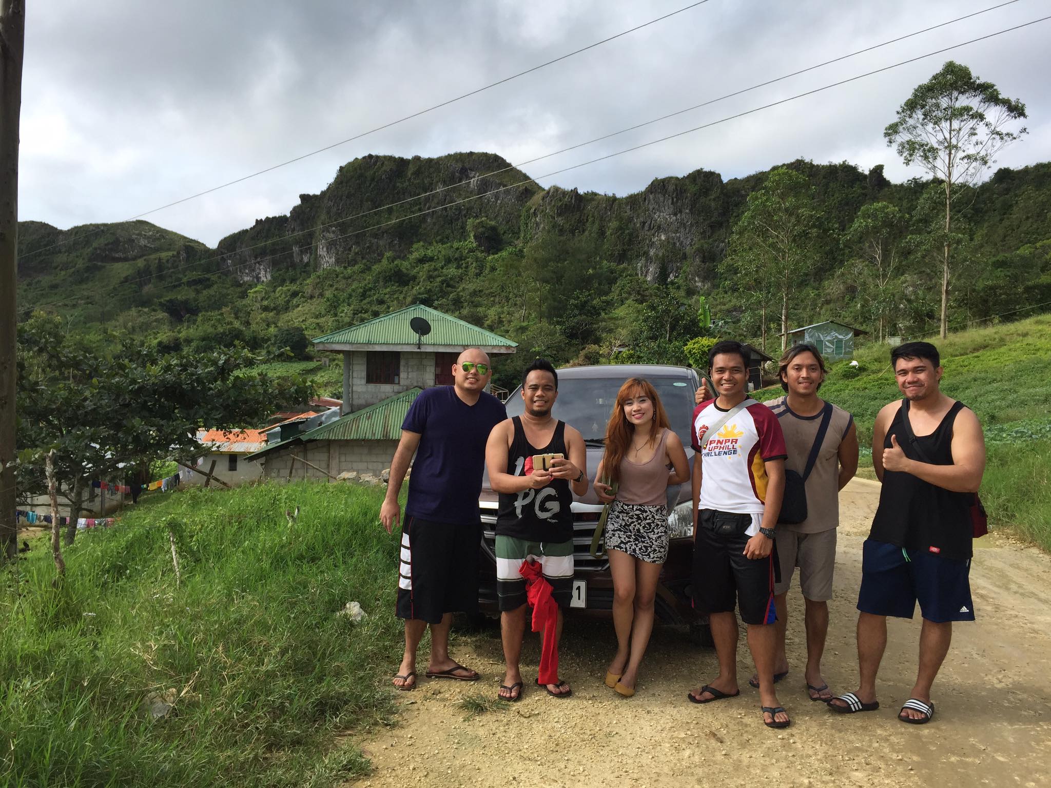
When we reached the entry point (or now the exit point), we looked for a place to eat. We tried Tita Joy’s Tambayan, but there are a lot of customers at the time. So we moved further ahead and found one near Marcos Mansion. We ate, and after a few minutes of rest, to walked Marcos Mansion to refresh ourselves with some buko juice and then hiked back to Nuvali Solenad. It was a hot, exhausting walk back to Nuvali, but we reached it before 12nn.

It was another adventurous Sunday morning for me. First one in 2021. I think I will go back there again someday because there is one place that we haven’t found and visited, the Matang Tubig Cave structure. It was created in 1932 and had an interesting history during the American and Japanese war. I want more Sunday morning adventures like before the pandemic, but we’ll have to wait and see what happens to the rest of the year.

Posted in adventure, hiking, mountain trekking, travel, trekking

Muddy Hell and Falls Apart! (Thanksgiving Weekend 2020)

Every year, on Thanksgiving weekend, I make plans to go somewhere I have never been to before or do something I have not done yet. The COVID pandemic has halted everyone’s vacation plans and just when I thought my 2020 Thanksgiving weekend is a bust, the community quarantine was toned down and opportunities to travel were opened. So, I contacted one of my regular running and travel buddy, John Jimenez, and he contacted another running buddy, Grace, for a travel adventure without a plan. Seriously, we don’t really have a concrete plan on where we want to go, we just have to band together and go.

Before the Thanksgiving activities, I visited Papa’s grave (November 27). Since Friday is a free day and I don’t have much to do at home, I just want to go out and do something. Bumped on to a running peep, Rick Frias, along the way too and he went with me to the cemetery.

November 28, 2020 (Nagcarlan and San Pablo)

Before I went to Santa Rosa, Laguna to meet up with John and Grace, I had to go to Filinvest City, Alabang to deliver the Xiaomi smartphones that a friend and colleague, Nelson Gonio, bought from us. Good to see and talk to a buddy I haven’t seen for more than 8 months.

I think it was way passed 8 am when I picked up John and Grace at Balibago Complex in Santa Rosa. We tried to think of places to go that are open for tourism and does not require medical certificates. There are not a lot of options, my initial suggestion was a hidden falls in Puting Lupa, Calamba and then other interesting places nearby within the Batangas area, but the weather is gloomy and very likely rainy soon. So, we asked Grace if she knows of any interesting places we could visit. She suggested a falls in Nagcarlan, a place she is very familiar with since she lived there for quite some time. She also said there’s a lake nearby too, so it has been decided, Nagcarlan it is. There are some traffic points along the way, most notable is the one in Crossing, Los Baños and it was around 11 am when we arrived there. First thing we did is to take pictures of the Underground Cemetery, one of the popular tourist spots. It was still closed to the public so we were only to take photos outside.

We then had our lunch at a nearby diner, just a hundred meters away from the cemetery. Since we arrived a bit late, our options of places to visit is limited. Grace asked us if we should go to the falls which will take some time or the nearby Yambo lake. It has been decided that we visit Yambo like with an option to take a hike on Mount Mabilog which is just within the grounds of the lake. As I drive along the way, I remember that the roads here are part of the route of Hero 2 Hero 50k Ultramarathon that I participated in back in 2017. I remember that long dark curvy road where I can hear a stream of water, I can finally see what the surrounding looks like and it’s beautiful (at night it was scary though especially if you ran that route alone). And also that long and wide road going while heading to Yambo (not sure if it was the national hi-way or a diversion road).

The actual road going to Yambo Lake can be missed if you’re not familiar with the place. Luckily, Grace still remembers it and we didn’t miss it. The road is narrow and you can get lost. So, Grace went out to ask someone at a nearby house for directions. Once you get it, it’s not hard to find at all. We arrived there at the lake around 12:30pm. Protocols are not strict, just a temperature check and personal information for contact tracing. There’s an entrance fee (I can’t remember how much) and if you want to take a tour on the lake with a raft, I think the fee is 300 pesos per head (not sure, I can’t remember it as well).

Since the decision to skip the raft on the lake is unanimous, for some strange reason, we decided to go for a hike on Mount Mabilog. We all can’t remember the exact reason why we decided on that, but I think Grace has something to do with it (especially since it has some fond memories with her ex).

Though I bought trail shoes, I decided to just hike with my Nike Benassi slides. Turns out to be a big mistake later when we actually got on the trails.

The problem is the trail was muddy at the time. I didn’t expect that because it was sunny at the time and didn’t know that it also rained there earlier. The hiking experience became a muddy hell for me. We had to make frequent stops because every step I make sucks, literally. My slippers would stick to the mud like suction cups. Sometimes it gets loose like the mud ate it and I’m left with just my barefoot in the air. I’m sweating profusely during the whole ordeal. On top of that, we also forgot to bring water, except for Grace who has a bottled water and gave it to me. The trail is not a difficult one, it’s beginner-friendly and it doesn’t even have very steep climbs, but it was the mud and my slippers that are giving me a very hard time. During 2/4 of the trail to the peak, I gave up. I told them to just go on without me and I’ll wait for them to come back down. Grace is not having it, either we push through or we go back. I don’t want to be the party pooper and waste the hiking experience so we pushed through despite the irritating experience for me.

I hiked mountains with way more difficult trails, but this one is the most difficult because I made it difficult to myself by not putting on my trail shoes. We could’ve reached the peak faster if I wasn’t slowing everyone down. I maximized the use of the wooden staff that our guide made by using my arms to push me forward most of the time and to get my slippers unstuck from the mud.

We finally made it to the peak at 2pm. We took a long, much needed rest and I savored it to the bone. Our guide gave us fresh papaya while resting. There is a nice lady living there who offered us water. Very thankful for it and we offered to pay but she didn’t want to take the money. To her, helping people does not require payment. Wish there could be more people like that. The world needs more like her.

We started the descent before 3pm. After a heavenly rest at the peak, it’s back to the muddy hell trails again. At that point I went barefoot, holding my slippers because going down means a lot close calls with slipping. I did slip a couple of times, but its not the full butt slamming and kissing the ground kinda slip. We made a stopover at a nearby house and the nice people there gave us fresh buko while resting. And like the lady at the peak, they didn’t want to take our money when we offered to pay. Why are people there so nice? In cities or more developed provinces, you don’t get this level of kindness from most people.

Back to the trails again at around 4pm, we finally reached a small river where I was able to wash some of the mud on my feet away. It feels so heavenly again.

We finally made it back to Yambo Lake before 5pm and I feel so good and very accomplished after what I had to go through. Achievement Unlocked for barefoot hiking on a muddy trail. Yambo Lake area has a very nice shower room and I look, smell, and feel clean again. What a feeling.

We planned to visit one more place, a church in Bay, Laguna, but it was closed. So, it’s time to go home. I dropped John and Grace in Balibago Complex where I picked them up. It was a 12-hour activity and I went home tired, but very satisfied and clean.

November 29, 2020 (Los Baños, Laguna)

The next day, I went to Los Baños with my hiking buddy Gerlie to check out Dampalit Falls. If it wasn’t for the pandemic, this would’ve been one our annual Mount Makiling hike. But, the trail and UPLB was closed at the time and the falls being a part of Mount Makiling is an interesting option.

It was a rainy morning, so I decided to use the car instead of public transportation. I picked up Gerlie at a 7-Eleven store in Crossing Calamba and then went to LB. Relying on Google maps to locate our destination, we missed the entry point and I had to make a U-turn back. I parked at the parking area of a DPWH office and from there is a short walk, almost 2 kilometers I think.

The village is not hard to find. You have to go through there to reach the falls. We were surprised by a kid who approached us, I think he is just 4 or 5 years old, and told us that he will take us to the entrance. Gerlie gave him a tip. There is an entrance fee and a store before the path to the falls. The falls we visited is the nearest and most popular one.

According to the locals that we talked to, there are 7 falls in the area, some are hidden and hard to reach. There are two that are close to the one we visited. We decided to go back and ask the guy at the entrance where the other waterfall is. He told us that we can go there with a guide, so another kid approached us and led us there. It was raining hard at that point, but since we’re already wet, we proceeded anyway.

The falls is much smaller, but our kid guide told us that pool is very deep, above the average human height level. Didn’t want to test it because it does look shallow and the pool is small, like a jacuzzi.

We didn’t stay long because the rain was pouring heavier. It was a very short trip and since the weather was bad, visiting other places will not be enjoyable unless it’s somewhere or something that involves getting wet and cold all day. We called it quits and went home before noon time.

Thanksgiving Weekend 2020 travel isn’t one of the best Thanksgiving activity I’ve done (the best is still our Cebu vacation), but it’s really something and most memorable is my hardships during the Mount Mabilog hike. It’s 2021 now, we have vaccines, let’s see what happen on this year’s Thanksgiving weekend.

Posted in adventure, hiking, mountain trekking, travel, trekking, Vacation

It’s not ‘Say Boo’ or ‘C’est Buu,’ just Seh-Bu (Thanksgiving Vacation in Cebu Part 2)

Day 3: Osmeña Peak, Ili Rock, Boljoon Church, Binalayan Hidden Falls, Mainit Springs

Osmeña Peak

      Our first destination on the 3rd day of our trip is Osmeña Peak. We plan to reach the peak before sunrise, so, we were suppose to leave the resort at 4 am. But, like most obedient Filipinos who strictly comply to Filipino Time, we left just a few minutes before 5 am.

The road to Osmeña Peak is curvy with lots of uphill, kinda like the roads to Baguio. Most part of the road is still under construction and some roads with the ‘dangerous curves’ don’t have safety barriers in place, so it’s best to drive carefully. We arrived at the market where the habal habal terminal is located. We don’t plan to take the habal habal ride since we have our own vehicle, so we just asked for directions. A habal habal rider followed us, and a good thing he did because we missed the turn by a few hundred meters and the habal habal rider signaled us and pointed the right direction. We followed him to a rough (rocky and muddy with a lot of uphills, not advisable to small cars), single-lane road to the tourism office (it opened this year) in Baranggay Mantolongan. After registering and hiring a guide (a guide is optional, but why not help some of the locals, the amount of tip you give is up to you), off we go.

img_20161126_064353-0101
It’s a good thing we didn’t try to catch the sunrise because it was a foggy morning with very limited visibility. So, we took our time for group photos instead.

img_20161126_064206-01-0101
Respect the Rules. Leave No Trace.

img_20161126_064921-0101
At 1,013 meters above sea level, the distance from the foot to summit is just around a kilometer. Depending on your moving speed, the hike may take 20-30 minutes. For trail runners, it may take 15 minutes or less depending on your skill level.

img_20161126_064600-0101
For some people, like Alex here, looking fabulous whilst hiking up a mountain is mandatory. And wait ’til you see what Jay has in store for us at the summit.

img_20161126_065239-0101
Going up on a hazy, foggy morning…

img_20161126_065127-0101
Almost… Halfway… There…

img_20161126_065831-0101
I can’t relax my feet while standing here. I feel stiff because of the fear of slipping. There’s a ravine just behind me. Photo Credit: Tsong Tero

img_20161126_070323-01-0101
Where I stood from the previous photo.

When we finally reached the summit, it was still foggy. We had to wait for almost an hour before the fog starts clearing up and the majestic view reveal itself. When it finally did, it’s photo shoot galore.

img_20161126_072137-01
Selfie at the highest point of the summit of Osmeña Peak before the fog cleared up.

img_20161126_073714-01
To avoid dizziness, don’t down or behind you. Just concentrate and firmly plant your feet. Let the screen of your smartphone be your guide.

img_20161126_074728-0101
The smiles of uncertainty. It’s foggy, cold, windy, and nobody wants to look down.

img_20161126_074453-0101
Look behind us… And the fog starts clearing up.

glex
The non-selfie shot. Photo by our guide.

ospeak-gif
This is how we do it….

ospeak_g
Damn, that’s a long way down… Photo by Alex

ospeak_g1
And that’s too far away to walk. Photo by Alex.

img_20161126_075513-01-0101
Beautiful morning. Is it the view or Lei?

img_20161126_074838-01-0101
And this is what Jay had in store for us. Proper attire? who cares! What to wear during hiking? screw that!

img_20161126_080109-01-0101
Dyosa ng Kadiliman (Goddess of Darkness) said David (one of our colleagues who was travelling with TravelCorp.).

img_20161126_080858-0101
Our guide taking photos of Jay. Me doing the BTS.

img_20161126_080919-01-0101
Think of Frozen, but instead of Elsa’s cryokinesis, Jay’s got terrakinesis and goth-like, dark outfit to boot. And let’s call the movie Rocked.

ceb18
Wandering around the rocky summit. Photo Credit: Lei

20161126_081305-0101
When the background is finally clear. Photo Credit: Tsong Tero

20161126_081343-0101
Osmeña Peak is the 5th mountain (7th if I include Taal Volcano crater and Mount Sungay which is now known as People’s Park in the Sky) I climbed. Photo Credit: Tsong Tero

20161126_081436-0101
It’s like the spiky and deformed version of Chocolate Hills. Photo Credit: Tsong Tero

img_20161126_082112-0101
If you have time, you can traverse to Kawasan Falls.

img_20161126_082047-0101
Going down on a clear, sunny day.

img_20161126_082731-0101
Lush vegetation.

img_20161126_083154-01-0101
Just one more photo shoot with Lei laying down on some flowers before going down.

img_20161126_083031-0101
I can see our travel vehicle and the tourism office from here.

ceb9
It’s more convenient to travel with your own vehicle. Drive wherever you want, whenever you want. Photo Credit: one of the natives.

ceb10
Drop off point of Osmeña Peak. Photo Credit: Lei

ceb11
Basta’t Driver (Runner, Blogger, at Photographer) sweet lover! XD Photo Credit: Lei

ceb12
Driving around town. Photo Credit: Lei

We’re so lucky to have seen the surroundings of Osmeña Peak without the Silent Hill fog. TravelCorp, who visited it in the afternoon were not so lucky, all they’ve  experienced was a 360 degree view of nothingness, just the foggy fog fog, foggy fog foggy afternoon. The habal habal rider led us back to the market and we gave him a tip for being our road guide and guarding our vehicle. After Osmeña Peak, we ate merienda at Julie’s Bakeshop (free Pepsi for 50 pesos worth of purchase, how come we don’t have that promo here in Luzon), we made a quick stop at Ili Rock and Boljoon Church.

Ili Rock and Boljoon Church

Before going back to the resort, we made a quick stop to Ili Rock and Boljoon Church. Ili Rock is a natural rock formation (small mountain) that was once used as a watchtower in the 1800s, overlooking the Bohol Sea. After a strong earthquake hit Bohol and Cebu on October 2013, a project (which included pulverizing a portion of the rock) to make the road safer was initiated. The project started in 2014, but is still only partially finished. When we got there, only the stairs and hand rails were done, the top of the mountain looked like a rocky desert.

img_20161126_102317-0101
A process called Slope Benching was done to create this stairway to the top.

img_20161126_102329-0101
Imagine this natural rock formation without the stairs and hand rails. This would be the 8th mountain I climbed if it was still a mountain.

img_20161126_102222-0101
The cliff. See the rappelling board?

img_20161126_102600-0101
I did not count the number of steps, but fact-checking online said it’s 136 steps to the top.

img_20161126_102748-0101
And this is your reward for making it to the top. But, seriously, the future plans for this place sounds good. There’s rappelling board on the cliff side (dunno if it’s use-able). Other plans include a coffee shop, zip line, and other attractions for tourists.

img_20161126_102937-01-0101
A nice view of the surroundings. (ignore Jay)

img_20161126_103050-0101
Group selfie on top of Ili Rock.

We didn’t stay long on Ili Rock because it was very hot at the time. So, we went to Boljoon Church which is just a few hundred meters away from Ili Rock.

img_20161126_104108-0101
Boljoon Church is a Natural Cultural Treasure and under consideration for the UNESCO World Heritage Sits of the Philippines. Also, there was a wedding going on at the time we visited it.

img_20161126_104403-0101
Inside the church.

img_20161126_104102-0101
Ili Rock as seen from Boljoon Church’s main entrance.

ceb69.jpg
Escuela Catolica was built in 1940 and served as a dorm for children prior to taking their first communion. In the later years, it also turned into a primary school and a meeting place for the religious groups of the parish. Photo Credit: Jay

We didn’t explore the church premises further due to the hot weather and time constraint. We then head back to Cloud and Xky Resort for lunch and rest before travelling to visit the Hidden Falls in Binalayan.

Binalayan Hidden Falls

After the much-needed rest, we went to Binalayan to see the Hidden Falls. Lei was so exhausted after the hike in Osmeña Peak and climbing up the stairs of Ili Rock, so she decided to stay at the resort and meet up with TravelCorp. group later (who will be doing their Whale Watching activity at the time).

The falls is hidden indeed, the path is surrounded by coconut trees and streams, it will take a 10-20 minute hike to reach the falls. You will pass by a pond with a tire-swing and smaller waterfalls.

img_20161126_133946-0101
Achievement Unlocked: Hidden Falls found!

DCIM100MEDIA
The water is shallow, but the center is deep (probably around 6-8 feet), which is the target point for the jumpers.

DCIM100MEDIA
There are some hidden caves behind the waterfall.

DCIM100MEDIA
Another Achievement Unlocked: Hidden Cave found!

DCIM100MEDIA
Raph waiting for his turn to jump the 1st level.

DCIM100MEDIA
Raph on the first level preparing to jump. I think this is 15-20 feet in height.

DCIM100MEDIA
Jumper! I wish you could step off from that ledge my friend…

DCIM100MEDIA
Tsong also jumped the 1st level. The rest of us skipped the jumps. Not sure if it’s safe for me.

Tsong and Raph enjoyed the jumps, the rest of us just enjoyed taking a dip in the cool water. We laso enjoyed watching the guide doing their demo jumps, some do backflips, while others jumped from the highest point, the top of the waterfall, which is probably 50 feet or more. It was very crowded that day and we did not stay long since we also plan to go to the Mainit Springs for a relaxing time.

Mainit Springs Malabuyoc

Our last destination for the day was Mainit (Hot) Springs in Malabuyoc. We all had an exhausting day hiking and going up 136 steps of stairs, so it feels just right to relax and let the soothing, hot water rejuvenate our bodies.

img_20161126_160328-0101
Welcome to Mainit Springs.

img_20161126_160438-0101-01
At 42.6 degrees celsius, this is the hottest pool in the area.

img_20161126_160407-0101
You can hard boil an egg in this pool. I haven’t seen anyone take a dip and stay on this pool. No human males wants to have their eggs boiled here. People seem to just dip their hands or feet and then leave.

img_20161126_160430-01-0101
The 40 degree pool is also very hot, but tolerable to some people.

img_20161126_160422-0101
The 35.8 degree pool in the center is the ideal temperature for everyone. It’s like a warm hug from a loved one during the cold winter nights. It’s the right kind of warm. On the left is a slightly hotter pool at 36+ degrees. It’s when the warm hug starts to heat up and lead to something else… like hot coffee.

DCIM100MEDIA
Taking a dip at the 35.8 degree pool. We also tried the 36 degree pool which had very little difference in temperature from the 35.8 pool.

DCIM100MEDIA
Really need to work on skills with an action cam. It would’ve been awesome if I was able to capture the beautiful surrounding without water spots around the lens.

Feeling cleansed (from all the hiking dirt we picked up earlier) and energized, we went back to the resort satisfied, feeling good. And that ends Day 3 of our Cebu-cation. Coming up is Day 4, the last day of our Cebu adventure and it’s exactly the right kind of closing, by having luxurious time (living a classy life) at Plantation Bay. Part 3 is coming up soon.